A History of the County of Somerset: Volume 1. Originally published by Victoria County History, London, 1906.
This free content was digitised by double rekeying. All rights reserved.
'Romano-British Somerset: Appendices', in A History of the County of Somerset: Volume 1, (London, 1906) pp. 370-371. British History Online https://www.british-history.ac.uk/vch/som/vol1/pp370-371 [accessed 12 April 2024]
In this section
APPENDIX I
THE NAME 'COLD HARBOUR'
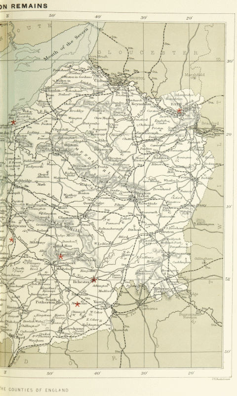
As I have stated in other volumes of the Victoria History, the connection of the name 'Cold Harbour' with Roman sites seems to me to be far less well established than is usually assumed. It may be, therefore, worth while to add here the Somersetshire evidence, for comparison with the preceding pages. The name occurs, so far as I can learn, ten times in the county: (1) about 1½ miles west of Glastonbury, towards Meare; (2) at Milborne Port, as Mr. Bates informs me; (3) at a hamlet near Dundry (Collinson, ii. 105); (4) Cold Harbour Hill and Lane at Hardington Mandeville; (5) at Uphill, near the sea shore and the mouth of the Axe; (6) at Paulton; (7) in the parish of East Cranmore, south of Cranmore Park; (8) on the side of Brendon Hills, ½ mile south of Treborough Church; (9) in Wayford parish, on the edge of Dorset; and (10) between Hindon and Fonthill (Hoare, Arch. xxxiii. 127). In addition, the parish of Horsington contains a Dark Harbour. Only two of these sites, Uphill and Paulton, can be in any way connected with Roman remains, and at neither is there evidence to connect the actual spot called Cold Harbour with the remains. Somerset, therefore, agrees with the other counties which I have examined in indicating no real relation between the name 'Cold Harbour' and Roman antiquities. What the name means must, I fear, be left undetermined. It is very common. But Mr. W. H. Stevenson tells me that it never occurs in early documents, and even the date of its origin is unknown.
APPENDIX II THE NAME 'CHESTER'
It is well known that 'chester' and 'caistor,' and similar forms, when used as place-names or parts of place-names, denote sites occupied in the Romano-British period. Such sites are not necessarily the sites of Roman forts. They are quite as often, or oftener, the sites of villas or towns where no soldiery was stationed. However, besides this familiar use, the name also occurs occasionally in places where no Roman remains have been found, and sometimes where no such remains are at all likely to have ever existed. These places are commonest in the north of Northumberland and across the Cheviots. But they are not confined to that region, and in this connection it is desirable to examine the cases of 'chester' in Somerset. Seven cases are known to me: (1) Ilchester, a Romano-British village; (2) Stanchester in Curry Rivel parish, site of a villa or farm; (3) Stanchester in Stoke sub Hamdon, where no remains definitely assignable to the Roman period have occurred; (4) Chesterblade in Evercreech, site of a farm, but perhaps not a true case of the name (see p. 320); (5) Newchester near Merriott, north of Crewkerne; (6) Stilchester in Barwick parish, a little south of Yeovil; and (7) Chestercroft, mentioned in the boundaries of North Petherton Forest a.d. 1298 (Collinson, iii. 60 note). No Roman remains have been found at any of the three last-named places. Thus, four out of seven Somersetshire 'chesters' have yielded no traces of Roman occupation. It must be left for future research to decide whether in these cases the name has not its proper meaning or whether our knowledge is defective.
APPENDIX III THE WANSDYKE
The Wansdyke—'Wodnesdic' in tenth century charters (Kemble, Cod. Dipl. 502, 566)— is an ancient and extensive earthwork which traverses north Somerset and central Wiltshire. It can be traced almost continuously for over 45 miles, from a point near Maes Knoll, 4 miles south of Bristol, to a point near Chisbury, 5 miles south-east of Marlborough. Originally it may perhaps have stretched further east and west, but this is uncertain. It consists, generally, of a mound running east and west, with a capacious ditch to the north of it. But occasionally it is interrupted by short gaps in which mound and ditch are absent, and General Pitt-Rivers conjectures that the line was here marked by an abattis of felled trees. Very diverse dates have been assigned to the work. Many writers ascribe it to the Romans, and in particular to Ostorius Scapula. All our evidence, however, goes to show that it is post-Roman. General Pitt-Rivers' excavations, indeed, only demonstrated that it was not pre-Roman (Excavations in Bokerly and Wansdyke, 1892, pp. 29, 245). But the dyke itself is not of Roman shape or construction, and, as it runs for several miles along the top of the Roman road from Bath to Silchester and London, it cannot have been erected before that important highway had passed out of use. The student of Roman Somerset and Wilts has, therefore, no concern with this puzzling earthwork.

Anglo-Saxon Map