A History of the County of Middlesex: Volume 9, Hampstead, Paddington. Originally published by Victoria County History, London, 1989.
This free content was digitised by double rekeying. All rights reserved.
T F T Baker, Diane K Bolton, Patricia E C Croot, 'Hampstead: Introduction', in A History of the County of Middlesex: Volume 9, Hampstead, Paddington, ed. C R Elrington (London, 1989), British History Online https://www.british-history.ac.uk/vch/middx/vol9/pp1-3 [accessed 30 April 2025].
T F T Baker, Diane K Bolton, Patricia E C Croot, 'Hampstead: Introduction', in A History of the County of Middlesex: Volume 9, Hampstead, Paddington. Edited by C R Elrington (London, 1989), British History Online, accessed April 30, 2025, https://www.british-history.ac.uk/vch/middx/vol9/pp1-3.
T F T Baker, Diane K Bolton, Patricia E C Croot. "Hampstead: Introduction". A History of the County of Middlesex: Volume 9, Hampstead, Paddington. Ed. C R Elrington (London, 1989), British History Online. Web. 30 April 2025. https://www.british-history.ac.uk/vch/middx/vol9/pp1-3.
HAMPSTEAD
Hampstead, (fn. 1) known for its left-wing intellectuals and, as 'Appy 'Ampstead, as the playground of London's East End, (fn. 2) lies with its south-western corner 3.2 km. north of Marble Arch. A compact parish estimated at 2,070 a. in 1831 and containing 2,265 a. (c. 917 ha.) in 1931, (fn. 3) it is diamond shaped, c. 3.2 km. in length and breath. The boundaries of the parish were described in 10th-century charters. (fn. 4) The genuine charter of King Edgar, c. 970, gives only four boundary marks: Watling Street or Edgware Road forming the south-western boundary with Willesden, the cucking pool apparently on Watling Street at the western angle, Sandgate, which has been identified with North End near the northern angle, and Foxhanger. (fn. 5) If Foxhanger was Haverstock Hill, a suggestion that seems likely, the whole east side of the later parish was excluded. The charter attributed to King Æthelred gives more detail: from Sandgate the boundary ran east to Bedegar's styvic leage, possibly a hog or cattle run, thence to Deormod's wic or farm, to Middle Hampstead, and along the hedge to the rush leage. Parts of the boundary and hedge were visible in 1986 and there is every indication that the north-eastern boundary with St. Pancras has since remained constant. The south-eastern boundary with St. Pancras and Marylebone ran westward to the barrow, probably Barrow Hill at Primrose Hill, then to Stangrafe (? Stonepit) and Watling Street. Dense woodland along the north-western and south-eastern boundaries and common ownership of estates on either side of them led to ambiguity, for example at Childs Hill and St. John's Wood. The Templars, who held St. John's Wood, denied any connexion with Hampstead. When the wood was cleared, the parish boundary ran through the middle of fields and there were disputes with St. Marylebone and St. Pancras over its course, especially at Primrose Hill, in 1751, 1821, and 1843. (fn. 6) Boundaries were determined by the manor court in 1632, by the churchwardens in 1671, and by the vestry by the 18th century. (fn. 7) Some 70 boundary stones were needed in 1824. (fn. 8) When Hampstead metropolitan borough was created under the Local Government Act, 1899, adjustments were made to the south-eastern boundary, the main effect of which was to straighten the line along Greville Place and Boundary Road. (fn. 9)
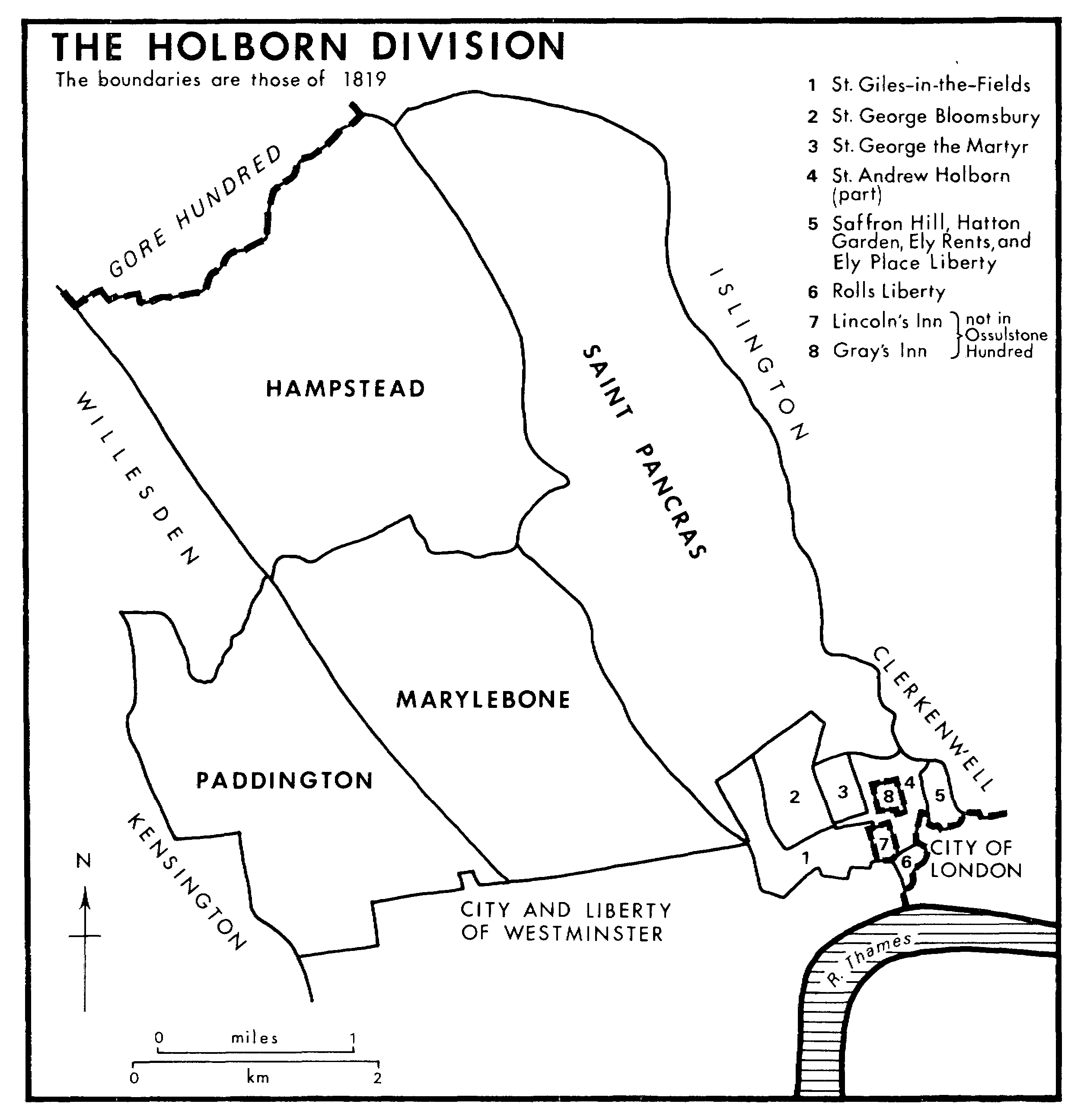
THE HOLBORN DIVISION
The boundaries are those of 1819
London Clay, which covers all the parish, is capped in the north-east by Claygate Beds and Bagshot sands, producing the sands, gravel, and elevation of Hampstead Heath. (fn. 10) From 30 m. in the south-west, the ground rises to 133 m. near Jack Straw's Castle. (fn. 11)
Before it was drained and ponds were created, much of the heath was marshy. (fn. 12) Springs and streams fringed the heath, arising especially at the junction of sand and clay. (fn. 13) A few streams flowed north, to become tributaries of the Brent, but most became feeders for the three main southward-flowing rivers, the Holborn or Fleet in the east, (fn. 14) the Tyburn, of which the main source was Shepherd's Well, and the Westbourne in the west, fed by branches arising in Frognal and on Telegraph Hill and joining at the site of Kilburn priory to become Kilburn brook (fn. 15) (also called Ranelagh sewer or Bayswater rivulet). (fn. 16) The boundary stream mentioned in the AngloSaxon charters gave its name to the Slade (fn. 17) and flowed westward as a tributary of the Brent, but had dried up by the 17th century. (fn. 18)