Survey of London: Volumes 43 and 44, Poplar, Blackwall and Isle of Dogs. Originally published by London County Council, London, 1994.
This free content was digitised by double rekeying. All rights reserved.
'Plate 30: All Saints' Church', in Survey of London: Volumes 43 and 44, Poplar, Blackwall and Isle of Dogs, (London, 1994) pp. 30. British History Online https://www.british-history.ac.uk/survey-london/vols43-4/plate-30 [accessed 12 April 2024]
In this section
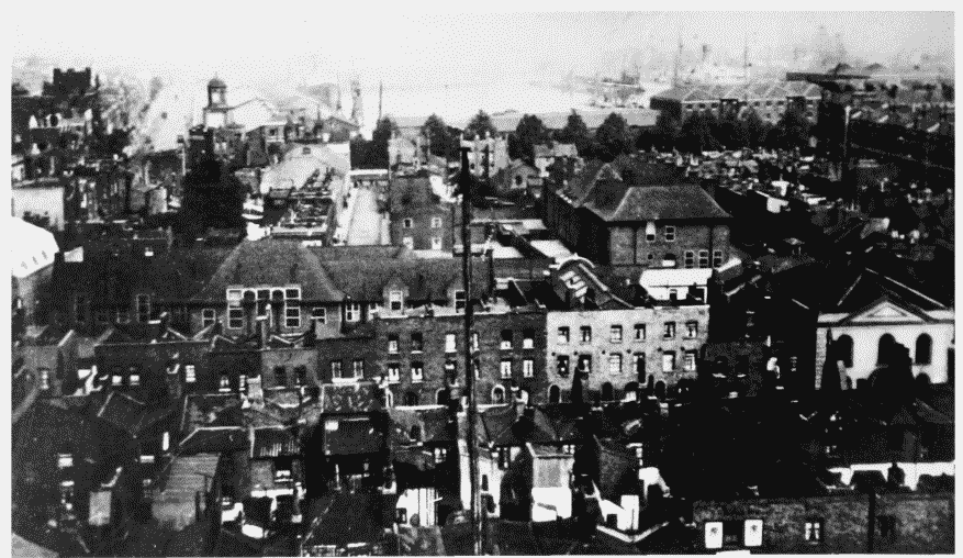
a. View looking eastwards from tower of All Saints' Church towards the East India Docks in c1930.
View from All Saints' Church in c1930.
View looking eastwards from tower of All Saints' Church towards the East India Docks in c1930.
Cotton Street in foreground and Baptist Chapel right, Woolmore Street Schools behind.
b. Newby Place, looking north to All Saints' Church in c1908 (pp. 180–2)
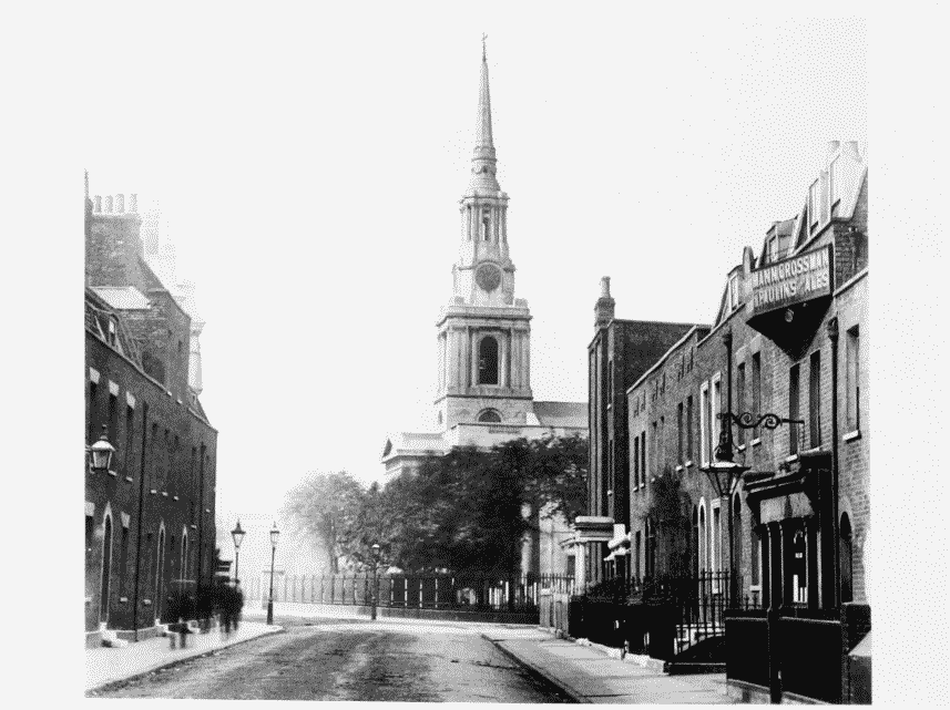
Newby Place looking north in c1908.
Newby Place, looking north to All Saints' Church in c1908 (pp. 180–2)