Survey of London: Volume 38, South Kensington Museums Area. Originally published by London County Council, London, 1975.
This free content was digitised by double rekeying. All rights reserved.
'Plate 89', in Survey of London: Volume 38, South Kensington Museums Area, (London, 1975) pp. 89. British History Online https://www.british-history.ac.uk/survey-london/vol38/plate-89 [accessed 19 April 2024]
In this section
a. North and west sides of Stanhope Gardens, c. 1869–75, in 1972 (pp. 299–300
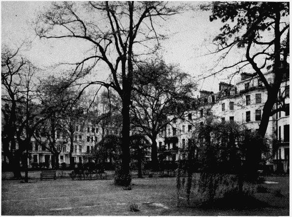
Stanhope Gardens, north and west sides in 1972.
a. North and west sides of Stanhope Gardens, c. 1869–75, in 1972 (pp. 299–300
b. East side of Stanhope Gardens, c. 1865, in early 20th century.
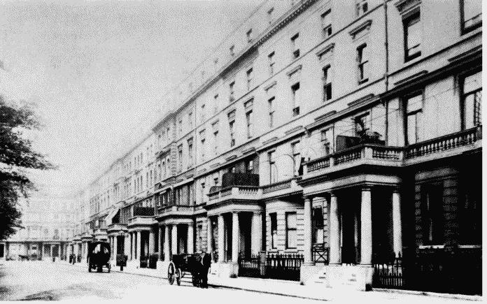
East side of Stanhope Gardens, c. 1865, in early 20th century.
T. Cundy III, architect (p. 299). Demolished
c. Queen's Gate looking south from Cromwell Road in early 20th century: Nos.127–134 (consec), 1870–2, on left.
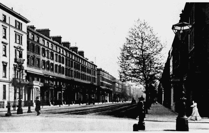
Queen's Gate south of Cromwell Road.
Queen's Gate looking south from Cromwell Road in early 20th century: Nos.127–134 (consec), 1870–2, on left.
W. Douglas, builder (p. 296)
d. Queen's Gate Place, 1865–8, looking west in 1968: Nos, 5–15(consec.) on right.
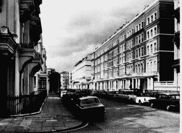
Queen's Gate Place, view looking west in 1968.
Queen's Gate Place, 1865–8, looking west in 1968: Nos, 5–15(consec.) on right.