Survey of London: Volume 15, All Hallows, Barking-By-The-Tower, Pt II. Originally published by London County Council, London, 1934.
This free content was digitised by double rekeying. All rights reserved.
'Map of the parish of All Hallows: Plan of parish showing monuments', in Survey of London: Volume 15, All Hallows, Barking-By-The-Tower, Pt II, (London, 1934) pp. . British History Online https://www.british-history.ac.uk/survey-london/vol15/pt2/map-all-hallows [accessed 12 April 2024]
Plan of the parish
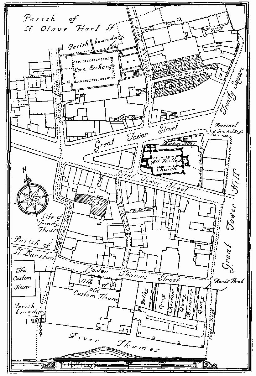
Opp. p. iii. Plan of parish showing monuments