Survey of London: Volume 42, Kensington Square To Earl's Court. Originally published by London County Council, London, 1986.
This free content was digitised by double rekeying. All rights reserved.
'Plate 64: Cornwall Gardens area in 1984.', in Survey of London: Volume 42, Kensington Square To Earl's Court, (London, 1986) pp. 64. British History Online https://www.british-history.ac.uk/survey-london/vol42/plate-64 [accessed 12 April 2024]
In this section
Cornwall Gardens Area in 1984
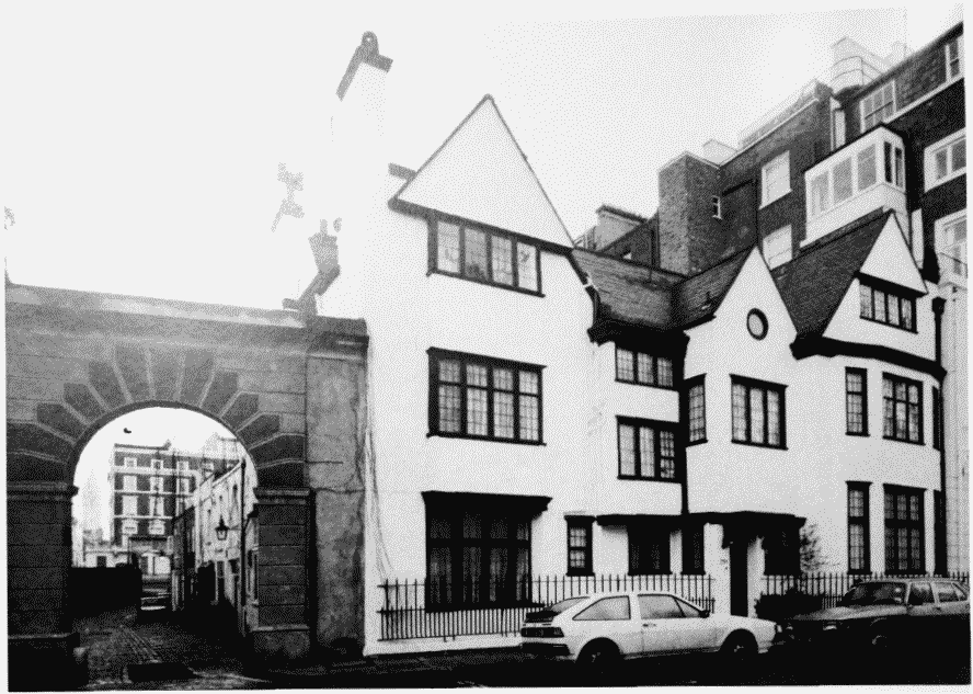
a. No. 23A launceston Place, Palce, 1913-14 (p. 157). Kynance Mews to left
Cornwall Gardens area in 1984.
No. 23A launceston Place, Palce, 1913-14 (p. 157). Kynance Mews to left
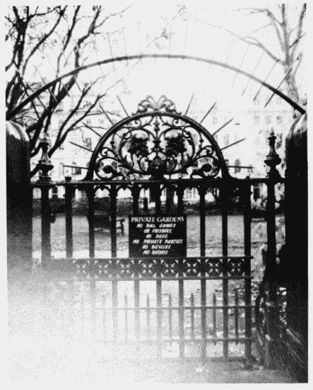
b. Cornwell Gardens, gate to enclosure (p. 157)
Cornwall Gardens area in 1984.
Cornwell Gardens, gate to enclosure (p. 157)
c. Nos. 50A-F Cornwell Gardens. Mews of 1877-9 converted by H. Stanley-Barrett and Driver,architects, 1919-21 (p. 156)
Cornwall Gardens area in 1984.
Nos. 50A-F Cornwell Gardens. Mews of 1877-9 converted by H. Stanley-Barrett and Driver,architects, 1919-21 (p. 156)