Survey of London: Volume 21, the Parish of St Pancras Part 3: Tottenham Court Road and Neighbourhood. Originally published by London County Council, London, 1949.
This free content was digitised by double rekeying. All rights reserved.
'Plate 1: Section of John Tompson's map of the parish of St. Pancras (circa 1803)', in Survey of London: Volume 21, the Parish of St Pancras Part 3: Tottenham Court Road and Neighbourhood, (London, 1949) pp. 1. British History Online https://www.british-history.ac.uk/survey-london/vol21/pt3/plate-1 [accessed 22 April 2024]
EXTRACT FROM JOHN TOMPSON'S MAP OF ST. PANCRAS (circa 1803)
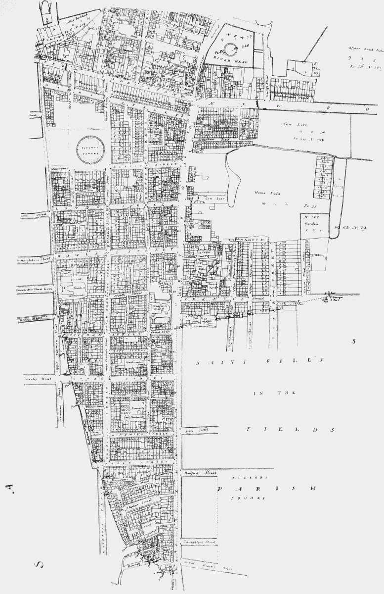
Section of John Tompson's map of the parish of St. Pancras (circa 1803): the area covered by this volume