Survey of London: Volume 24, the Parish of St Pancras Part 4: King's Cross Neighbourhood. Originally published by London County Council, London, 1952.
This free content was digitised by double rekeying. All rights reserved.
'Plate 5: Section of map of St. Pancras by John Britton (1834) (Euston Road and south of it).', in Survey of London: Volume 24, the Parish of St Pancras Part 4: King's Cross Neighbourhood, (London, 1952) pp. 5. British History Online https://www.british-history.ac.uk/survey-london/vol24/pt4/plate-5 [accessed 13 April 2024]
SECTION OF JOHN BRITTON'S MAP OF THE PARISH (1834)
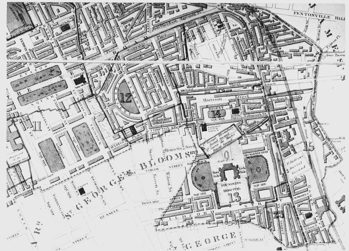
Section of same map (Euston Road and south of it).