Survey of London: Volume 25, St George's Fields (The Parishes of St. George the Martyr Southwark and St. Mary Newington). Originally published by London County Council, London, 1955.
This free content was digitised by double rekeying. All rights reserved.
'Plate 77: Holy Trinity Church, 1950, elevations and block plan', in Survey of London: Volume 25, St George's Fields (The Parishes of St. George the Martyr Southwark and St. Mary Newington), (London, 1955) pp. 77. British History Online https://www.british-history.ac.uk/survey-london/vol25/plate-77 [accessed 26 April 2024]
HOLY TRINITY CHURCH (pp. 110–112)
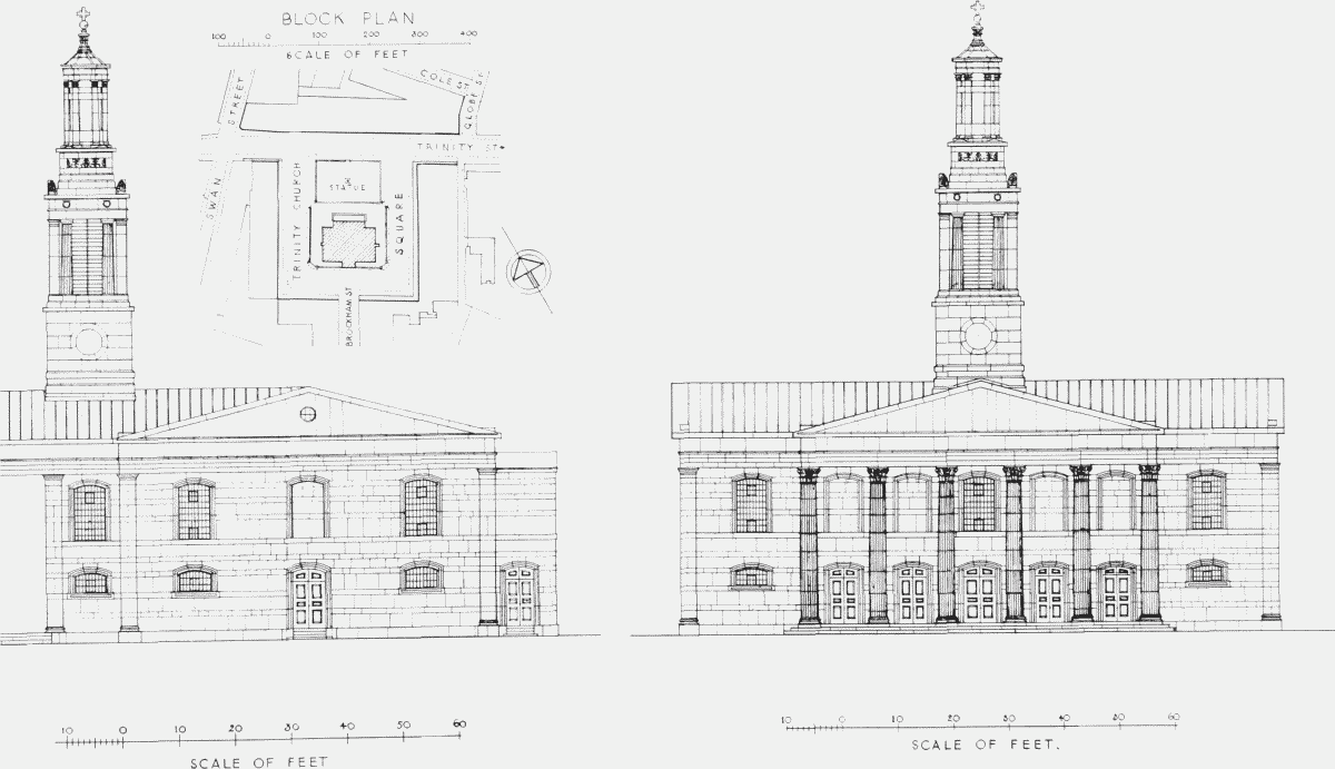
Holy Trinity Church, 1950, north-west elevation and north-east elevation and block plan