Survey of London: Volumes 43 and 44, Poplar, Blackwall and Isle of Dogs. Originally published by London County Council, London, 1994.
This free content was digitised by double rekeying. All rights reserved.
'Plate 107: Naval Row area', in Survey of London: Volumes 43 and 44, Poplar, Blackwall and Isle of Dogs, (London, 1994) pp. 107. British History Online https://www.british-history.ac.uk/survey-london/vols43-4/plate-107 [accessed 25 April 2024]
In this section
a. Aerial view of the Naval Row area looking east in 1947.

Aerial view of the Naval Row area in 1947.
Aerial view of the Naval Row area looking east in 1947.
Blackwall Yard is to the right and the East India Export Dock to the left
b. Naval Row, west end, looking east towards the walls of the East India Export Dock in c1926 (p. 636)
Naval Row in c1926.
Naval Row, west end, looking east towards the walls of the East India Export Dock in c1926 (p. 636)
c. No. 26 Naval Row in 1987.
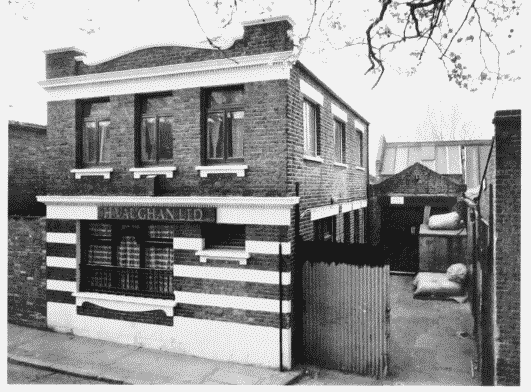
No. 26 Naval Row in 1987.
No. 26 Naval Row in 1987.
Alfred Roberts, architect, 1910 (p. 636)