A History of the County of Stafford: Volume 7, Leek and the Moorlands. Originally published by Victoria County History, London, 1996.
This free content was digitised by double rekeying. All rights reserved.
'Alstonefield: Hollinsclough', in A History of the County of Stafford: Volume 7, Leek and the Moorlands, (London, 1996) pp. 37-41. British History Online https://www.british-history.ac.uk/vch/staffs/vol7/pp37-41 [accessed 19 April 2024]
In this section
HOLLINSCLOUGH
Hollinsclough was formerly a township in Alstonefield parish and later a civil parish 1,842 a. (745 ha.) in area. (fn. 1) A village with a chapel and a school but no inn or shop lies in a secluded valley in the north-east corner. Elsewhere the land is upland pasture. The river Dove forms the northern boundary, which is also the county boundary with Derbyshire, and tributaries of the Dove and the river Manifold form the eastern boundary with Longnor. The south-western boundary with Heathylee runs along a ridge. On the west Hollinsclough broadens out, taking in the headstream of the Manifold, which forms the boundary with Quarnford.
The land lies at its highest at the west end of the ridge where a house called Summerhill stands at 1,513 ft. (461 m.). The ridge tapers to the south-east, the land dropping gradually to 883 ft. (269 m.) at the south-eastern tip of the township. The underlying rock is sandstone of the Millstone Grit series. The upland soil is coarse loam; there is loam of better quality over clay on the lower ground. (fn. 2)
The number of people in Hollinsclough owing suit at the manor court in 1769 was 115. (fn. 3) The population of the township was 562 in 1801 and 513 in 1811. By 1831 it had risen to 564 but had fallen to 457 by 1841 and 393 by 1861. An increase to 425 by 1871 was followed by a steady decline to 259 in 1901, 224 in 1911, 210 in 1921, 194 in 1931, 183 in 1951, and 170 in 1961. It was 201 in 1971 and 161 in 1981 and 1991. (fn. 4)
There is a Bronze Age barrow on the hillside south-west of the village. (fn. 5) The village takes its name from its position at the mouth of a short ravine formed by a stream which flows north into the Dove: when first recorded in the late 1390s the settlement was known as Howelsclough, the first part of the name possibly deriving from Old English hol, a hollow. (fn. 6) The form Hollinsclough, used occasionally by the later 18th century, became standard in the early 19th century. (fn. 7) The village had only 3 houses and 7 cottages in the earlier 1630s; (fn. 8) an inn was closed in 1785. (fn. 9) Home Farm and Vicarage Farm, both of the early 19th century, are the principal houses in the village. In 1974 the former Anglican church, closed in 1966, became a residential field centre for Frank Wheldon comprehensive school, Nottingham. The centre is named after Michael Hutchinson, the head teacher when the building was bought from the Harpur-Crewe estate in 1985. (fn. 10)
The village stands on a road which until the early 19th century was the route between the Leek-Buxton road, just over the Quarnford boundary, and Longnor. (fn. 11) East of Colshaw on the west side of the township the road runs through a deep valley past Golling Gate and crosses Hollinsclough moor before dropping into the village. It formerly continued to Longnor, leaving the village in the north-east. A more direct route to Longnor running to the southeast past Moss Carr was laid out in 1843-4. (fn. 12) By 1820 there was also a road to Longnor which avoided the drop at Golling Gate and bypassed the village by continuing along the high ground south-east of Colshaw. (fn. 13)
The earliest settlements outside the village included one to the south-east at Moss Carr, probably the site of a house called Moscure which was recorded in Alstonefield manor in the earlier 15th century. There was certainly a house at Moss Carr by the late 16th century. (fn. 14) Northwest of the village there was a house called Winterside in 1400 on a site still occupied in the early 20th century. (fn. 15) Two other early settlements lay beside the Manifold on the west side of the township: a house called the Neelde in 1455 almost certainly stood on the site of Nield Bank, (fn. 16) and Dun Cow's Grove was recorded as Duncote Greave in 1600. (fn. 17) Gamballs Green Farm in the north-west corner of the township takes its name from a green called Gamon green in 1564, Gambushe green in 1600, and Gambles green in 1720. (fn. 18)
There was settlement by the earlier 18th century at Colshaw. (fn. 19) A house there called Summerhill is dated 1757 and was built for John Gaunt, a button merchant. Edge Top Farm to the south-east is dated 1787 and was built for Micah Mellor, a hawker. (fn. 20) Houses on Hollinsclough moor include Coatestown, possibly the home of Isaac Coates, a chapman, in the later 18th century, and Moor Top Farm, built in the early 19th century for John Tunnicliff. (fn. 21)
North-east of Golling Gate a packhorse bridge, surviving in 1994, crossed the Dove, and there was once another packhorse bridge downstream near Hollinsclough village. (fn. 22)
Hollinsclough was connected to a mains electricity supply in the early 1960s. It received a mains water supply in 1984 after a reservoir had been constructed north of Flash, in Quarnford. (fn. 23)
Hollinsclough Silver Band, formed by 1920, (fn. 24) still existed in 1994, drawing its members from surrounding villages and further afield. A village hall was opened in 1992. (fn. 25) Among its users is a community group called History Live, which organizes talks and exhibitions on the history of the area. (fn. 26)
MANOR.
Hollinsclough was part of Alstonefield manor.
ECONOMIC HISTORY.
Agriculture.
An open field called Town field was mentioned in 1617. (fn. 27) It presumably lay near the village, where in the earlier 1630s there were 11 a. of arable in pieces 'in the field'; a further 8½ a. then lay in what was called the corn field. (fn. 28) Town field was still open in 1725. (fn. 29)
The common waste lay on Hollinsclough moor south-west of the village and covered 386 a. in the late 18th century. (fn. 30) Most of it was presumably inclosed privately, and in 1839 only 25 a. were inclosed under an Act of 1834 amended in 1836. (fn. 31)
Of the 649.6 ha. of farmland returned for the civil parish in 1988, grassland covered 547.3 ha. and there were 101.7 ha. of rough grazing. The farming was dairy and sheep, with 815 head of cattle and 1,302 sheep and lambs. Of the 24 farms returned, 22 were under 40 ha. in size, one was between 50 and 99 ha., and one was between 100 and 199 ha. (fn. 32)
Trade.
A fulling mill stood above Hollinsclough village in 1564, probably on the Dove north-west of the village. Cloth working in that area is suggested by the name Tenter Hill, used by 1775 for the hill between the river and Golling Gate. (fn. 33)
A pedlar was recorded in Hollinsclough in 1600. (fn. 34) Isaac Coates, possibly of Coatestown on Hollinsclough moor, was a dealer and chapman from the late 1750s. At first he bought goods from travellers, but c. 1770 he started to buy directly from manufacturers in Manchester and employed two or three men to sell for him. He was declared bankrupt in 1774. (fn. 35) John Lomas, the son of a pedlar, George Lomas, who lived at Colshaw in the later 1740s, at first assisted his father; in 1764 he became a hawker on his own account and later a wholesale dealer. He moved to Hollinsclough village in 1785, (fn. 36) the year he appeared before the House of Commons to argue successfully against a proposal to abolish licensed hawkers and pedlars. (fn. 37) Micah Mellor of Edge Top Farm was described as a hawker and pedlar at his death in 1791. (fn. 38)
A button merchant, William Wood, lived in Hollinsclough probably in 1757 and certainly in 1769, and Ezekiel Wood of Colshaw was described as a button maker in 1764. (fn. 39) John Gaunt of Summerhill, recorded as a button merchant in 1764, was known locally in 1772 as 'the king of the Flash', a reference to the village of that name in Quarnford which was the centre of the area's button trade. (fn. 40) Obadiah Tunnicliff, who was living at Colshaw in 1769, was described as a button manufacturer of Flash in 1787, (fn. 41) and his son Moses probably continued in the trade: in 1820 Moses had a warehouse and factory in Macclesfield (Ches.). (fn. 42) Three Hollinsclough button manufacturers were mentioned in 1800, Micah Mellor of Edge Top, William Mellor of Willshaw Side, and Ezekiel Wood of Golling Gate, (fn. 43) and two were listed in 1834, John Weston and William Wood, the latter a silk, twist, and button manufacturer. (fn. 44) Women button makers from Hollinsclough were probably involved in an attempt to establish a trade union in 1834. (fn. 45) Three such workers were recorded in the township in 1841, 13 in 1851, and 21 in 1861. Both men and women worked as silk weavers during the same period: 4 were recorded in 1841, 37 in 1851, and 13 in 1861. (fn. 46)
LOCAL GOVERNMENT.
Hollinsclough was part of the Forest tithing of Alstonefield manor by the late 1390s and remained so in the earlier 1530s. (fn. 47) By 1594 it shared a frankpledge with Heathylee, the joint tithing sometimes being called High Frith. (fn. 48) That was still the arrangement in 1676, but by 1697 Hollinsclough had its own frankpledge, by then styled a headborough. (fn. 49) There was a pinner for the joint tithing by 1596 but one for Hollinsclough alone by 1697. (fn. 50) A pinfold which stood on the east side of the village in the later 1820s was rebuilt in 1858. (fn. 51)
Two surveyors of the highways for Hollinsclough were appointed at the manor court apparently for the first time in 1601. From 1602 there was normally only one. (fn. 52)
In the later 17th and earlier 18th century the poor of Hollinsclough, Fawfieldhead, Heathylee, and Quarnford were maintained jointly. (fn. 53) Hollinsclough relieved its poor separately from 1733. (fn. 54) It became part of Leek poor-law union in 1837. (fn. 55)
CHURCH.
From the late 17th century and presumably earlier people from Hollinsclough attended Longnor church. (fn. 56) From 1744 those living in the western part of the township attended the church built that year at Flash, in Quarnford, and in 1902 that part of Hollinsclough was assigned to Quarnford parish. (fn. 57)
In 1840 Sir George Crewe, prompted by the curate of Longnor, William Buckwell, rebuilt a barn in Hollinsclough village as a church and a school; he also converted a farmhouse, probably the present Vicarage Farm, into a house for a curate. (fn. 58) The church was licensed in 1841 and named St. Agnes in 1906. (fn. 59) The first curate, who was paid £50 a year by Sir George, (fn. 60) was Henry Smith, of whom Sir George remarked that 'no one but a man in every sense of the word of a missionary spirit could possibly live there'; he had left by 1846. (fn. 61) From 1850 the church was served by the curate of Quarnford, who lived in the Hollinsclough house. (fn. 62) On Census Sunday 1851 he took two services at Hollinsclough, with attendances of 24 in the morning, besides Sunday school children, and 56 in the evening. (fn. 63) Hollinsclough was still served by the curate of Quarnford in 1865, but by 1871 it was served from Longnor. (fn. 64) Regular services were last held apparently in 1956, and the church was closed in 1966, later becoming a residential field centre. (fn. 65) Of coursed rubble with ashlar dressings, the former church was a rectangular building with a short east chancel and a south porch. There was a west gallery, and a bell turret was added in 1924. (fn. 66)
NONCONFORMITY.
The hawker John Lomas became a Methodist in 1783. He moved from Colshaw to Hollinsclough village in 1785 and formed a Methodist society which had 11 members in 1786. (fn. 67) A chapel built by Lomas in the village was registered in 1797, with Lomas as minister. (fn. 68) Sunday services were held there fortnightly in 1798, alternating with services at Longnor. (fn. 69) Lomas rebuilt the chapel in 1801, and by 1802 there was a weekly Sunday service. (fn. 70) The society had 23 members in 1803. (fn. 71) Lomas died in 1823, leaving instructions that a manuscript entitled 'The Last Legacy of John Lomas to the People of Hollinsclough and its Vicinity' should be published and a copy given to every household in Hollinsclough and within a mile of it. Probably a religious exhortation, the text seems to have been partly incorporated into a printed version of Lomas's diary, published in 1848. (fn. 72) On Census Sunday 1851 there was an afternoon congregation of 26, besides Sunday school children. (fn. 73) The church was still open in 1994.
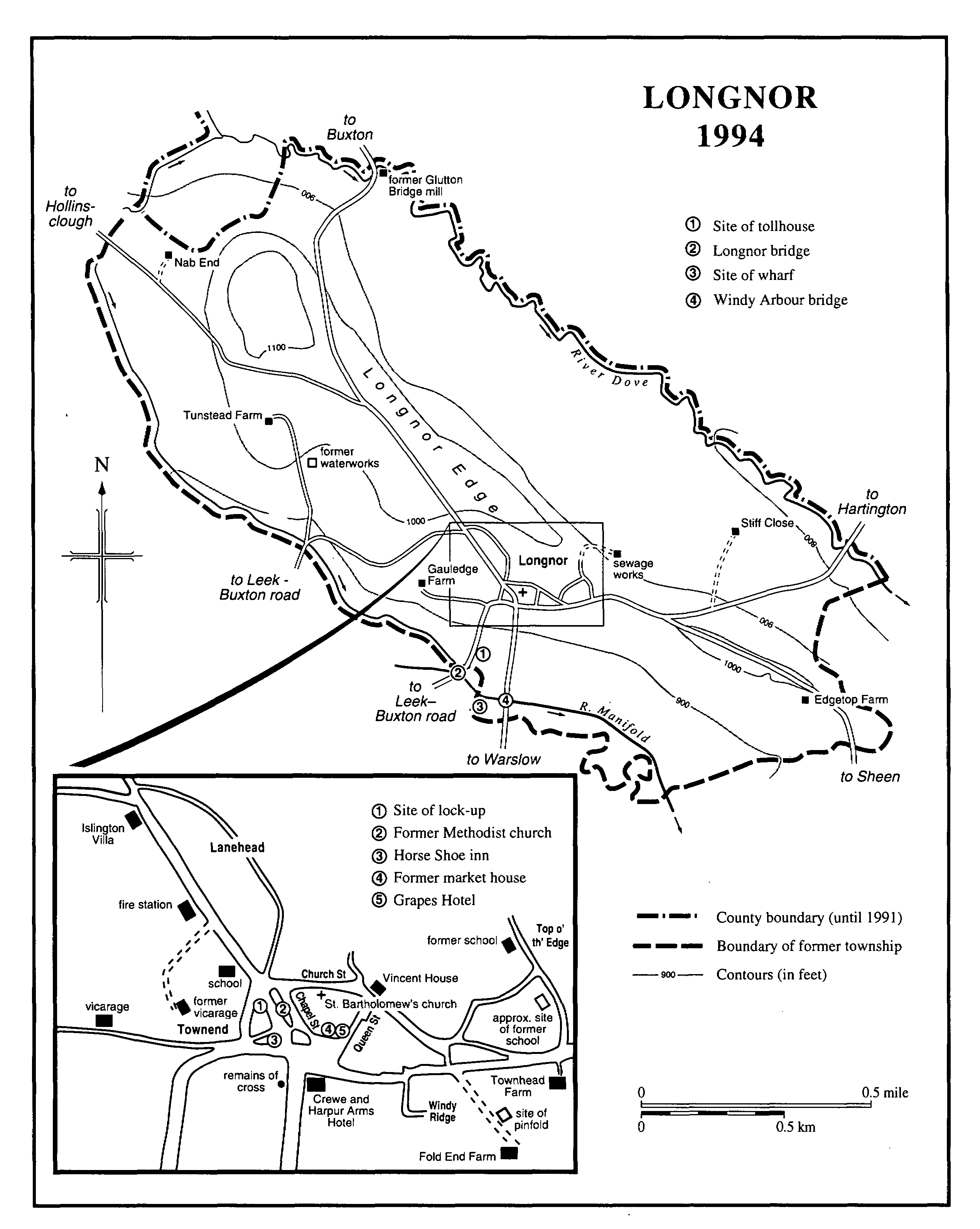
LONGOR 1994
EDUCATION.
In the 1750s Dinah Lomas (d. 1761) of Gamballs Green ran a dame school, (fn. 74) and in 1759 the inhabitants of Hollinsclough nominated John Lomas as the master of a school in the township. (fn. 75) The school may have been established by John Bourne of Newcastleunder-Lyme, the benefactor of a school built at Flash in Quarnford in 1760: he was described as 'a considerable benefactor to the schoolhouse at Colshaw'. (fn. 76) The building was probably east of Summerhill, its site in the early 19th century. (fn. 77) Nothing further is known about it.
There was a Methodist Sunday school in 1811, possibly the Sunday school with 32 boys and 38 girls recorded in the township in the earlier 1830s. (fn. 78) A free day school opened at Flash in 1834 was intended partly for children from Hollinsclough, but an endowment to support it ceased in 1835. (fn. 79)
A school occupied the west end of the church built in Hollinsclough village in 1840. A National school by the later 1840s, it was managed by a committee of ratepayers probably from 1864 and certainly by 1871, when it had 38 children on its books. In 1873 a schoolroom was built on the west side of the church. (fn. 80) The decision in 1931 that what was then Hollinsclough Church of England school, an all-age school with 33 children, should become a junior school probably took effect in the later 1940s, the senior children being transferred to Leek. (fn. 81) Hollinsclough school took controlled status in 1955. (fn. 82) A new school building was opened on an adjacent site in 1960, when there were 25 children. (fn. 83) In 1993 the school took maintained status. (fn. 84)
CHARITIES FOR THE POOR.
None known expressly for the township.