A History of the County of Middlesex: Volume 12, Chelsea. Originally published by Victoria County History, London, 2004.
This free content was digitised by double rekeying. All rights reserved.
'The parish of Chelsea: Introduction', in A History of the County of Middlesex: Volume 12, Chelsea, (London, 2004) pp. 1-2. British History Online https://www.british-history.ac.uk/vch/middx/vol12/pp1-2 [accessed 19 April 2024]
In this section
THE PARISH OF CHELSEA
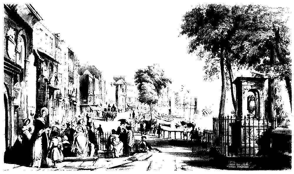
CHELSEA, a small village on the Thames, developed as a riverside resort, first for courtiers and wealthy Londoners from the 15th to the 17th centuries, and then for a wider section of London's residents in the 18th. (fn. 1) It became known from the later 19th century as a centre of artistic life in London, with a socially mixed and rather bohemian society, but by the end of the 20th was again largely an enclave of the rich and fashionable. It is one of the smaller inner London parishes, lying in the Kensington Division of Ossulstone Hundred, and bounded by the detached part of St Margaret Westminster on the north, St George Hanover Square on the east, the river Thames and Fulham on the south, Fulham on the south-west, and Kensington on the north-west. In addition to the Thames, water formed the boundaries on two other sides, with the Westbourne river on the east, and Counter's Creek (its lower stretch known as Chelsea Creek) on the west; (fn. 2) in 1900 the eastern boundary of Chelsea MB was straightened to run along Chelsea Bridge Road and other roads to the north. Fulham Road formed the north-western boundary from the western end of the parish for three-quarters of the distance, but where Fulham Road turns north as Brompton Road the parish boundary continues in more or less a straight line north-eastwards towards Knightsbridge; it runs just south of Knightsbridge road itself.
Chelsea's position and links with land in Kensington suggest that it may originally have formed the southern end of a larger land-holding, and later became a separate unit from which the parish was created. Until 1900 the parish included a detached portion of about 120 a. which lay at the northern end of Kensington, possibly once part of a single Anglo-Saxon unit comprising both Kensington and Chelsea parishes. (fn. 3) In 1900 the area was allotted to Paddington and Kensington MBs under an Act of 1899. Settlement, churches, and schools of the 19th and 20th centuries which later lay within Paddington (Queen's Park) have been treated under Paddington, (fn. 4) and similar building which later fell within Kensington (Kensal New Town) are reserved for treatment under Kensington.
The parish is wedge shaped, only about a quarter of a mile wide in the west and just over a mile in the east; east-west through the centre the parish is about 1¼ miles long from boundary to boundary. (fn. 5) In 1664 the area of the parish was estimated by James Hamilton at 631 a., presumably excluding Chelsea detached, (fn. 6) and in 1831 the area was given as 780 a., (fn. 7) presumably including the detached portion. Ten acres by the river near the Royal Hospital belonged to Kensington parish, which may account for the 770 a. given as the area under the tithe award. (fn. 8) In 1900, after Kensal had been transferred to Paddington and Kensington, the remainder of Chelsea, now a metropolitan borough, was 660 a. (fn. 9)
Geology
Like similar settlements on the Thames, Chelsea owed its existence to the proximity of firm gravel to the water's edge, which allowed easy landing. Nearly all of Chelsea lies on Kempton Park gravel drift over London clay. The exceptions are two patches of Langley Silt brickearth at Markham Street and Square south to Smith Terrace, and lying either side of Fulham Road by Elm Park Gardens east to the Royal Marsden hospital. A wide band of alluvium along the eastern side of the parish marks the course of the Westbourne down to the Thames by Ranelagh Gardens, and a narrow band on the west marks Counter's Creek, widening out at the southern end to include the land on the south side of Lots Road. The parish lies beneath the 10 m. contour. (fn. 10)
Derivation of Place-name
Chelsea, originally Chelcehithe and variants, is apparently an early Anglo-Saxon place-name derived from the Old English words for chalk and a landing-place, the last part in common with nearby Lambeth, Stepney, and Rotherhithe. (fn. 11) The usual meaning of a settlement located on such rock is considered unlikely, given the local geology, although a recorded sense of 'coarse sand mixed with pebbles' may well have applied to the Thames foreshore. (fn. 12) The other possibility is that Chelsea was a transshipment point for building stone or lime for fertilizer, perhaps brought upriver from Kent, although there is a problem over the derivation from the word for chalk. (fn. 13) The older form was still in use in the 16th and 17th centuries, though by this time the form 'Chelsey' was becoming common.
Cheyne Walk c. 1840, from the Old Church looking east to Cadogan Pier