Ancient and Historical Monuments in the County of Gloucester Iron Age and Romano-British Monuments in the Gloucestershire Cotswolds. Originally published by Her Majesty's Stationery Office, London, 1976.
This free content was digitised by double rekeying. All rights reserved.
, 'Hatherop', in Ancient and Historical Monuments in the County of Gloucester Iron Age and Romano-British Monuments in the Gloucestershire Cotswolds, (London, 1976) pp. 64. British History Online https://www.british-history.ac.uk/rchme/ancient-glos/p64 [accessed 26 May 2024].
. "Hatherop", in Ancient and Historical Monuments in the County of Gloucester Iron Age and Romano-British Monuments in the Gloucestershire Cotswolds, (London, 1976) 64. British History Online, accessed May 26, 2024, https://www.british-history.ac.uk/rchme/ancient-glos/p64.
. "Hatherop", Ancient and Historical Monuments in the County of Gloucester Iron Age and Romano-British Monuments in the Gloucestershire Cotswolds, (London, 1976). 64. British History Online. Web. 26 May 2024, https://www.british-history.ac.uk/rchme/ancient-glos/p64.
HATHEROP
(8 miles N.E. of Cirencester)
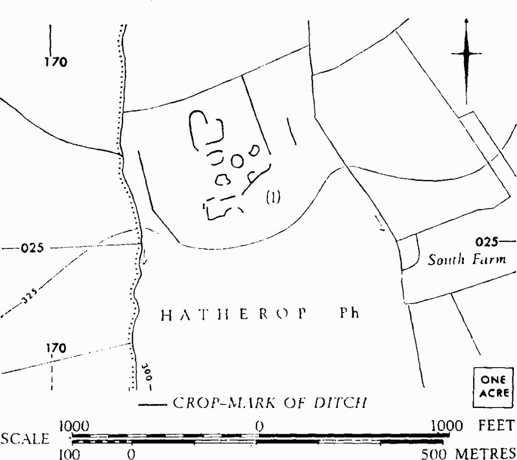
Hatherop. (1) Probable Settlement.
(1) Probable Settlement (SP 173027), undated, shows as crop-marks N.W. of South Farm. The area is defined by linear ditches on E. and W. and covers 6 acres or more.
C.U.A.P., OAP AYI 9–10.