Survey of London: Volume 24, the Parish of St Pancras Part 4: King's Cross Neighbourhood. Originally published by London County Council, London, 1952.
This free content was digitised by double rekeying. All rights reserved.
, 'Plate 56: Nos. 29-33, Ampton Street', in Survey of London: Volume 24, the Parish of St Pancras Part 4: King's Cross Neighbourhood, (London, 1952) pp. 56. British History Online https://www.british-history.ac.uk/survey-london/vol24/pt4/plate-56 [accessed 23 May 2024].
. "Plate 56: Nos. 29-33, Ampton Street", in Survey of London: Volume 24, the Parish of St Pancras Part 4: King's Cross Neighbourhood, (London, 1952) 56. British History Online, accessed May 23, 2024, https://www.british-history.ac.uk/survey-london/vol24/pt4/plate-56.
. "Plate 56: Nos. 29-33, Ampton Street", Survey of London: Volume 24, the Parish of St Pancras Part 4: King's Cross Neighbourhood, (London, 1952). 56. British History Online. Web. 23 May 2024, https://www.british-history.ac.uk/survey-london/vol24/pt4/plate-56.
Nos. 29, 31 and 33 AMPTON STREET
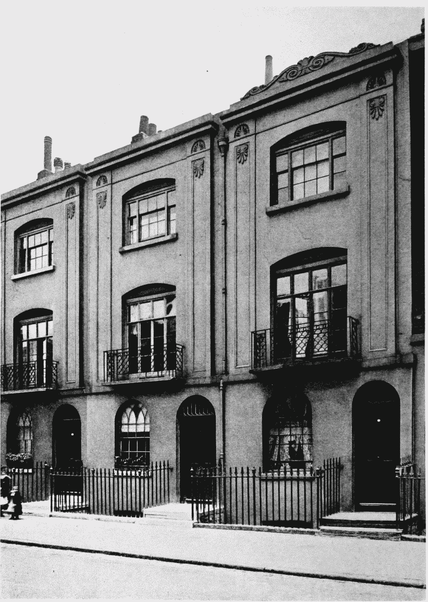
Nos. 29–33, Ampton Street