Survey of London: Volume 14, St Margaret, Westminster, Part III: Whitehall II. Originally published by London County Council, London, 1931.
This free content was digitised by double rekeying. All rights reserved.
, 'Plate 109: No. 10, Downing Street, south and east elevations', in Survey of London: Volume 14, St Margaret, Westminster, Part III: Whitehall II, (London, 1931) pp. 109. British History Online https://www.british-history.ac.uk/survey-london/vol14/pt3/plate-109 [accessed 19 May 2024].
. "Plate 109: No. 10, Downing Street, south and east elevations", in Survey of London: Volume 14, St Margaret, Westminster, Part III: Whitehall II, (London, 1931) 109. British History Online, accessed May 19, 2024, https://www.british-history.ac.uk/survey-london/vol14/pt3/plate-109.
. "Plate 109: No. 10, Downing Street, south and east elevations", Survey of London: Volume 14, St Margaret, Westminster, Part III: Whitehall II, (London, 1931). 109. British History Online. Web. 19 May 2024, https://www.british-history.ac.uk/survey-london/vol14/pt3/plate-109.
NO 10 DOWNING STREET
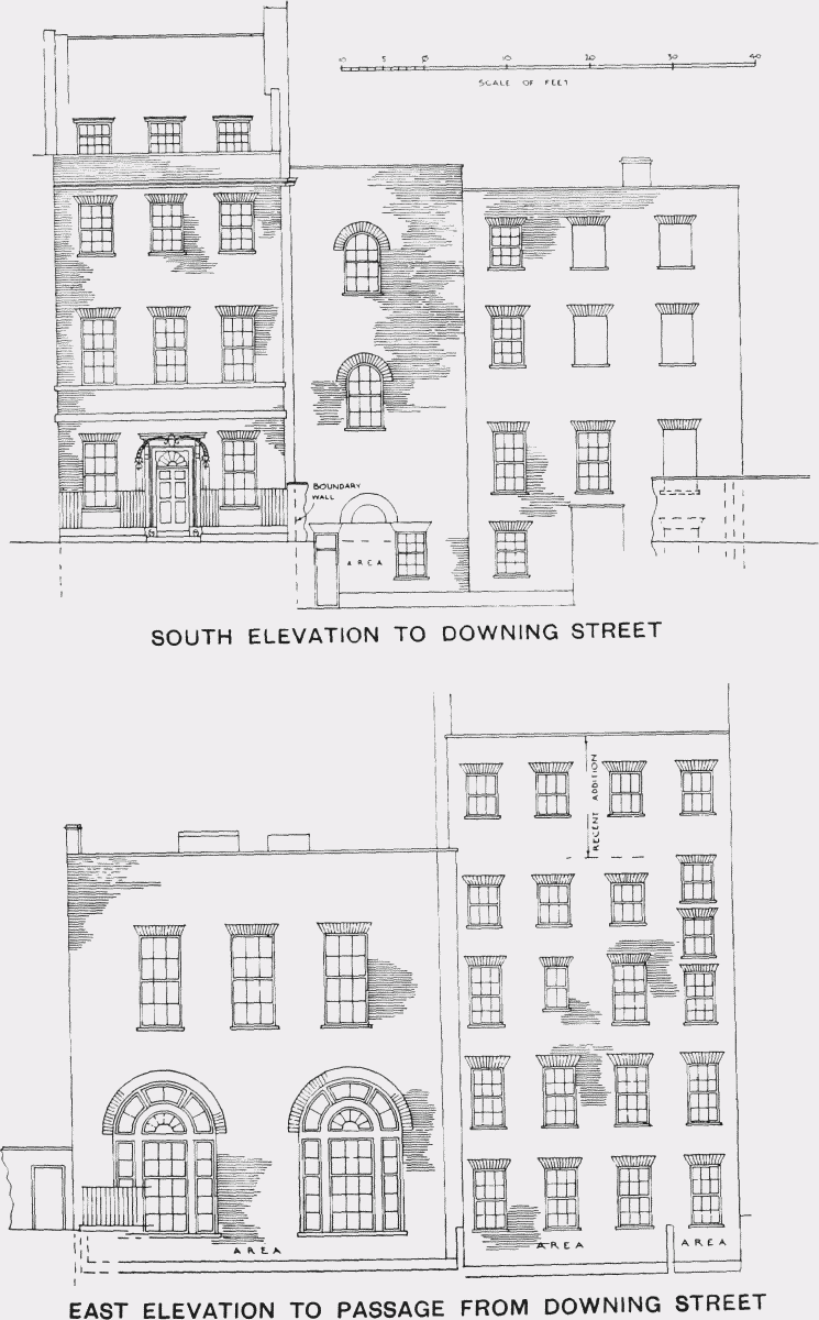
No. 10, Downing Street, south and east elevations