An Inventory of the Historical Monuments in Huntingdonshire. Originally published by His Majesty's Stationery Office, London, 1926.
This free content was digitised by double rekeying. All rights reserved.
'Plate 69: Godmanchester', in An Inventory of the Historical Monuments in Huntingdonshire(London, 1926), British History Online https://www.british-history.ac.uk/rchme/hunts/plate-69 [accessed 30 April 2025].
'Plate 69: Godmanchester', in An Inventory of the Historical Monuments in Huntingdonshire(London, 1926), British History Online, accessed April 30, 2025, https://www.british-history.ac.uk/rchme/hunts/plate-69.
"Plate 69: Godmanchester". An Inventory of the Historical Monuments in Huntingdonshire. (London, 1926), British History Online. Web. 30 April 2025. https://www.british-history.ac.uk/rchme/hunts/plate-69.
Godmanchester. Timber-framed houses

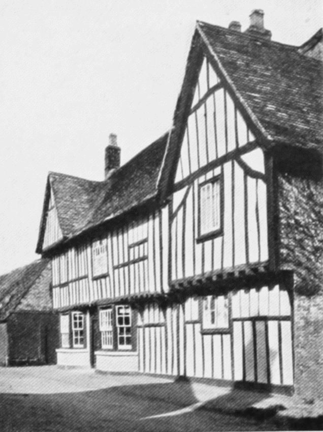
(6) Tudor House, E. side of Ermine Street, dated 1600.
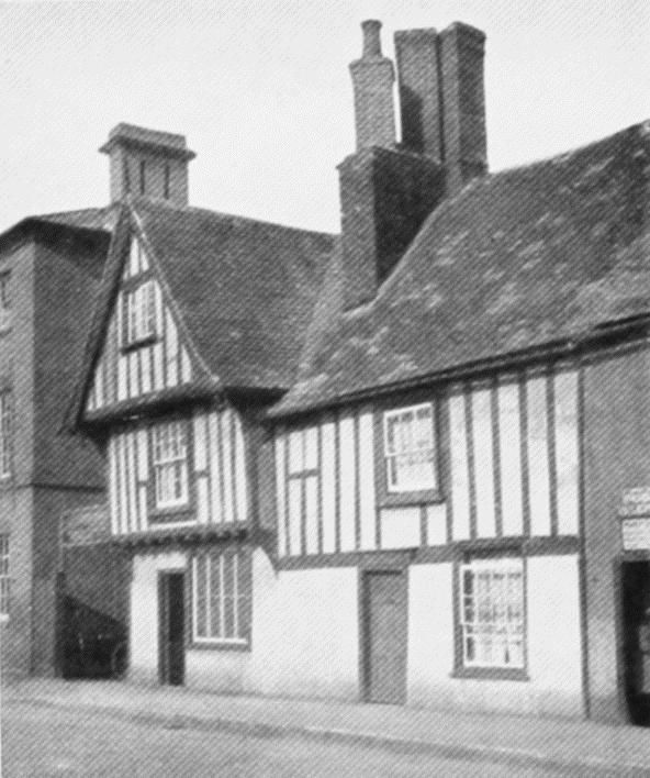
(7) House, E. side of Ermine Street, 500 yds. S.E. of Church, dated 1625.

(6) Tudor House. Back elevation.
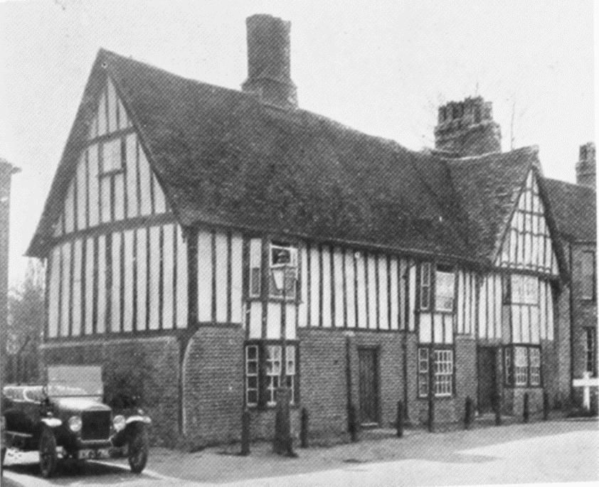
(44) House, E. side of Causeway, 220 yds. S.S.W. of Church, c. 1600.
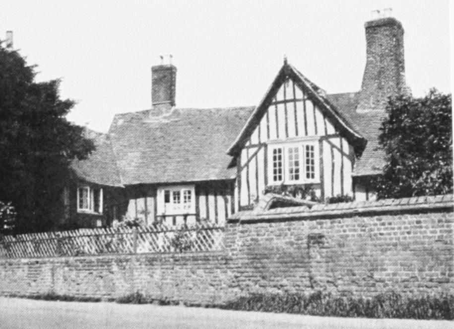
(39) House, S. side of West Street, 850 yds. S.W. by W. of Church, dated 1593.
(70) House, N. side of Cambridge Road, ¼ mile E.S.E. of Church, 16th and 17th-century.