Survey of London: Volume 18, St Martin-in-The-Fields II: the Strand. Originally published by London County Council, London, 1937.
This free content was digitised by double rekeying. All rights reserved.
'Plate 3: Northumberland House, elevations', in Survey of London: Volume 18, St Martin-in-The-Fields II: the Strand, ed. G H Gater, E P Wheeler (London, 1937), British History Online https://www.british-history.ac.uk/survey-london/vol18/pt2/plate-3 [accessed 30 April 2025].
'Plate 3: Northumberland House, elevations', in Survey of London: Volume 18, St Martin-in-The-Fields II: the Strand. Edited by G H Gater, E P Wheeler (London, 1937), British History Online, accessed April 30, 2025, https://www.british-history.ac.uk/survey-london/vol18/pt2/plate-3.
"Plate 3: Northumberland House, elevations". Survey of London: Volume 18, St Martin-in-The-Fields II: the Strand. Ed. G H Gater, E P Wheeler (London, 1937), British History Online. Web. 30 April 2025. https://www.british-history.ac.uk/survey-london/vol18/pt2/plate-3.
In this section
NORTHUMBERLAND HOUSE circa 1874
(a) SOUTH ELEVATION TO QUADRANGLE (p. 17)
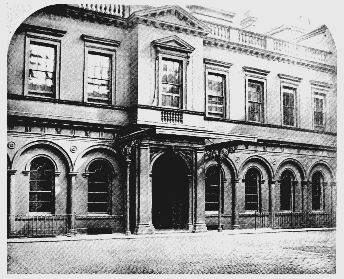
south elevation to quadrangle
(b) GARDEN FRONT (p. 17)
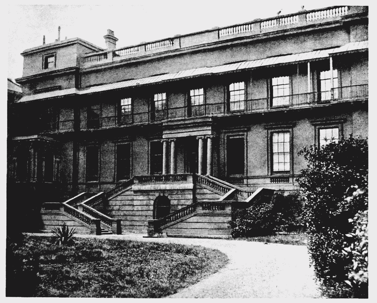
garden front