Survey of London: Volume 23, Lambeth: South Bank and Vauxhall. Originally published by London County Council, London, 1951.
This free content was digitised by double rekeying. All rights reserved.
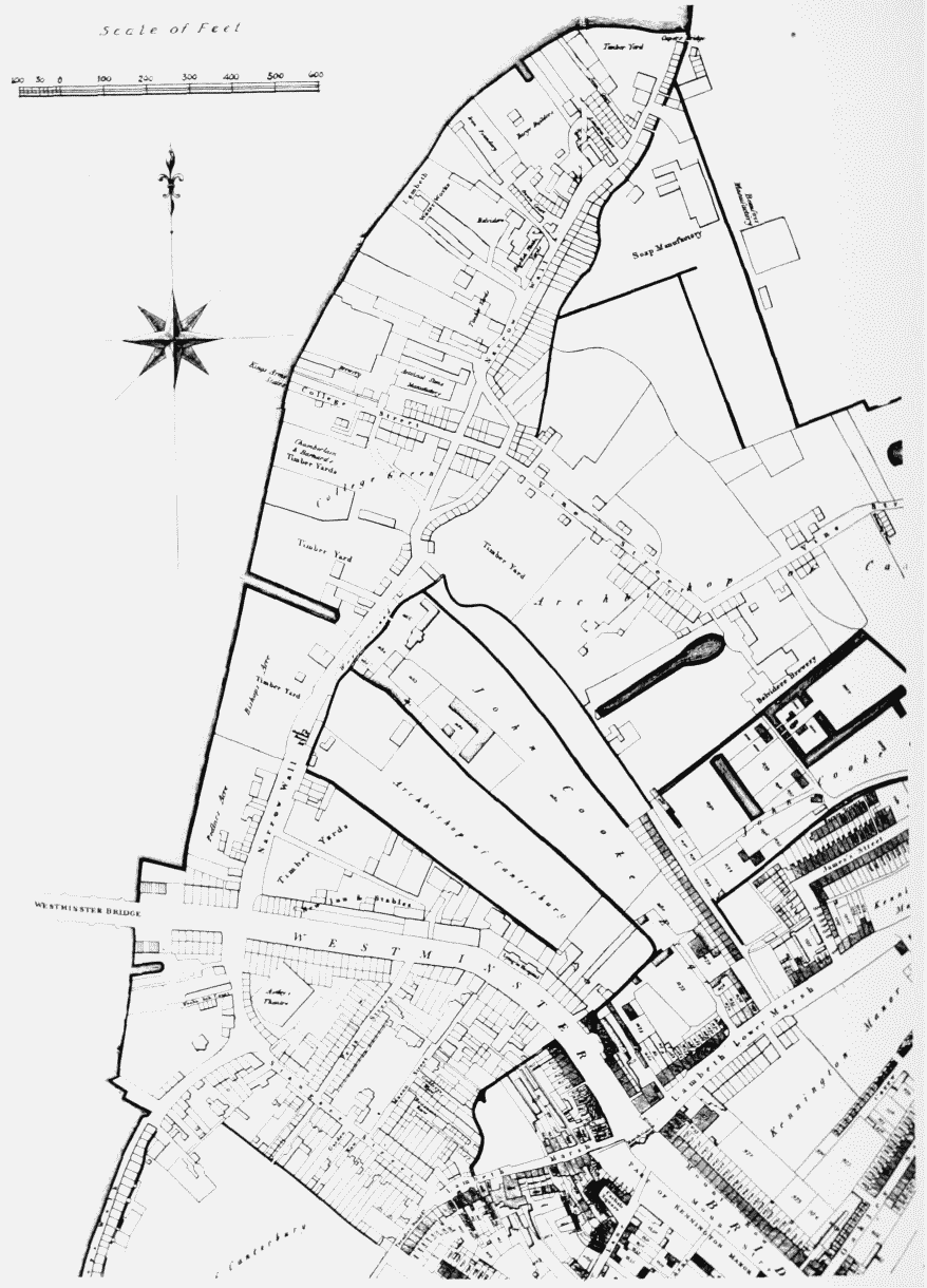
'Plate 51: Manor of Lambeth Enclosure Map, 1806 (northern part)', in Survey of London: Volume 23, Lambeth: South Bank and Vauxhall, ed. Howard Roberts, Walter H Godfrey (London, 1951), British History Online https://www.british-history.ac.uk/survey-london/vol23/plate-51 [accessed 30 April 2025].
'Plate 51: Manor of Lambeth Enclosure Map, 1806 (northern part)', in Survey of London: Volume 23, Lambeth: South Bank and Vauxhall. Edited by Howard Roberts, Walter H Godfrey (London, 1951), British History Online, accessed April 30, 2025, https://www.british-history.ac.uk/survey-london/vol23/plate-51.
"Plate 51: Manor of Lambeth Enclosure Map, 1806 (northern part)". Survey of London: Volume 23, Lambeth: South Bank and Vauxhall. Ed. Howard Roberts, Walter H Godfrey (London, 1951), British History Online. Web. 30 April 2025. https://www.british-history.ac.uk/survey-london/vol23/plate-51.
MANOR OF LAMBETH ENCLOSURE MAP (NORTHERN PART), 1806
Manor of Lambeth Enclosure Map, 1806 (northern part)
MANOR OF LAMBETH ENCLOSURE MAP (NORTHERN PART), 1806