Survey of London: Volume 25, St George's Fields (The Parishes of St. George the Martyr Southwark and St. Mary Newington). Originally published by London County Council, London, 1955.
This free content was digitised by double rekeying. All rights reserved.
'Plate 10: Section of Wyngaerde's map-view showing Suffolk Place, etc.', in Survey of London: Volume 25, St George's Fields (The Parishes of St. George the Martyr Southwark and St. Mary Newington), ed. Ida Darlington (London, 1955), British History Online https://www.british-history.ac.uk/survey-london/vol25/plate-10 [accessed 30 April 2025].
'Plate 10: Section of Wyngaerde's map-view showing Suffolk Place, etc.', in Survey of London: Volume 25, St George's Fields (The Parishes of St. George the Martyr Southwark and St. Mary Newington). Edited by Ida Darlington (London, 1955), British History Online, accessed April 30, 2025, https://www.british-history.ac.uk/survey-london/vol25/plate-10.
"Plate 10: Section of Wyngaerde's map-view showing Suffolk Place, etc.". Survey of London: Volume 25, St George's Fields (The Parishes of St. George the Martyr Southwark and St. Mary Newington). Ed. Ida Darlington (London, 1955), British History Online. Web. 30 April 2025. https://www.british-history.ac.uk/survey-london/vol25/plate-10.
SECTION OF WYNGAERDE'S VIEW SHOWING SUFFOLK PLACE circa 1550 (p. 22)
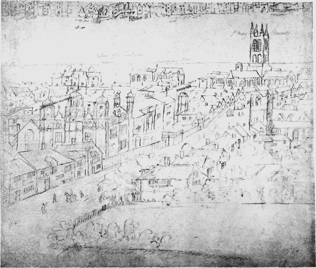
Section of Wyngaerde's map-view of London showing Suffolk Place, etc., in the time of Elizabeth I