Survey of London: Volume 4, Chelsea, Pt II. Originally published by London County Council, London, 1913.
This free content was digitised by double rekeying. All rights reserved.
Walter H Godfrey, 'Plate 3: Map of Chelsea (1836)', in Survey of London: Volume 4, Chelsea, Pt II(London, 1913), British History Online https://www.british-history.ac.uk/survey-london/vol4/pt2/plate-3 [accessed 1 May 2025].
Walter H Godfrey, 'Plate 3: Map of Chelsea (1836)', in Survey of London: Volume 4, Chelsea, Pt II(London, 1913), British History Online, accessed May 1, 2025, https://www.british-history.ac.uk/survey-london/vol4/pt2/plate-3.
Walter H Godfrey. "Plate 3: Map of Chelsea (1836)". Survey of London: Volume 4, Chelsea, Pt II. (London, 1913), British History Online. Web. 1 May 2025. https://www.british-history.ac.uk/survey-london/vol4/pt2/plate-3.
EXTRACT FROM THOMPSON'S MAP OF CHELSEA (1836)
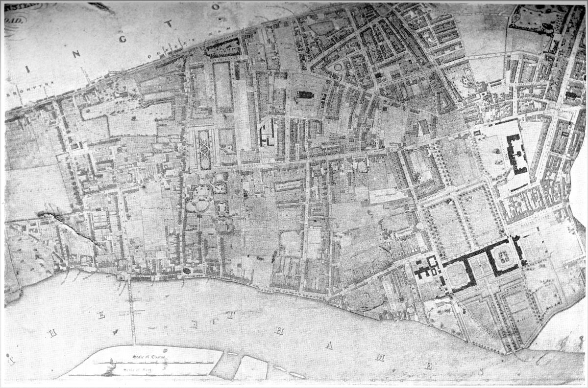
Map of Chelsea (1836), from a copy in the Chelsea Public Library