Survey of London: Volume 42, Kensington Square To Earl's Court. Originally published by London County Council, London, 1986.
This free content was digitised by double rekeying. All rights reserved.
'Plate 2: Maps of Kensington High Street and Kensington Square district', in Survey of London: Volume 42, Kensington Square To Earl's Court, ed. Hermione Hobhouse (London, 1986), British History Online https://www.british-history.ac.uk/survey-london/vol42/plate-2 [accessed 30 April 2025].
'Plate 2: Maps of Kensington High Street and Kensington Square district', in Survey of London: Volume 42, Kensington Square To Earl's Court. Edited by Hermione Hobhouse (London, 1986), British History Online, accessed April 30, 2025, https://www.british-history.ac.uk/survey-london/vol42/plate-2.
"Plate 2: Maps of Kensington High Street and Kensington Square district". Survey of London: Volume 42, Kensington Square To Earl's Court. Ed. Hermione Hobhouse (London, 1986), British History Online. Web. 30 April 2025. https://www.british-history.ac.uk/survey-london/vol42/plate-2.
In this section
Kensington High Street and Area, Maps
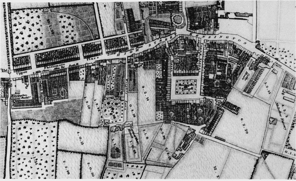
a. Extract from map of Kensington published by T.Starling, 1822
Maps of Kensington High Street and Kensington Square district
Extract from map of Kensington published by T.Starling, 1822
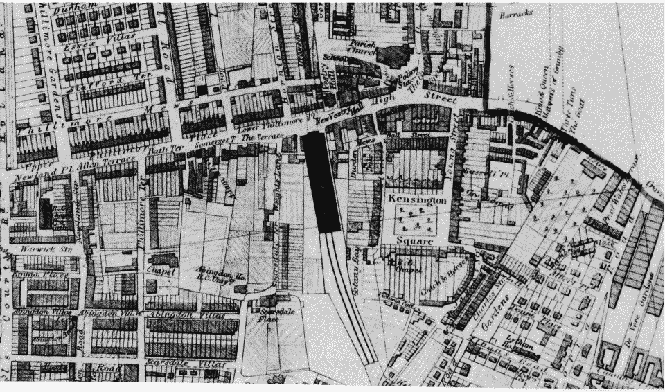
b. Extract from Edmund Daw's map of Kensington, 1879
Maps of Kensington High Street and Kensington Square district
Extract from Edmund Daw's map of Kensington, 1879