Survey of London: Volume 42, Kensington Square To Earl's Court. Originally published by London County Council, London, 1986.
This free content was digitised by double rekeying. All rights reserved.
'Plate 98: Kenway Road.', in Survey of London: Volume 42, Kensington Square To Earl's Court, ed. Hermione Hobhouse (London, 1986), British History Online https://www.british-history.ac.uk/survey-london/vol42/plate-98 [accessed 30 April 2025].
'Plate 98: Kenway Road.', in Survey of London: Volume 42, Kensington Square To Earl's Court. Edited by Hermione Hobhouse (London, 1986), British History Online, accessed April 30, 2025, https://www.british-history.ac.uk/survey-london/vol42/plate-98.
"Plate 98: Kenway Road.". Survey of London: Volume 42, Kensington Square To Earl's Court. Ed. Hermione Hobhouse (London, 1986), British History Online. Web. 30 April 2025. https://www.british-history.ac.uk/survey-london/vol42/plate-98.
In this section
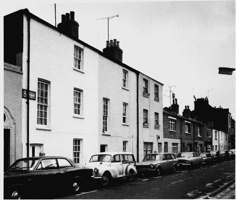
a. Nos. 16-36 (even) Kenway Road (right to left) in 1970 (pp. 216-18)
Kenway Road.
Nos. 16-36 (even) Kenway Road (right to left) in 1970 (pp. 216-18)
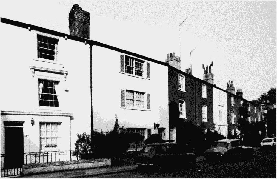
b. Nos. 39-53 (odd) Kenway Road (left to right), c. 1807-10, in 1980 (p. 2160)
Kenway Road.
Nos. 39-53 (odd) Kenway Road (left to right), c. 1807-10, in 1980 (p. 2160)