Survey of London: Volume 45, Knightsbridge. Originally published by London County Council, London, 2000.
This free content was digitised by double rekeying. All rights reserved.
'Plate 57', in Survey of London: Volume 45, Knightsbridge, ed. John Greenacombe (London, 2000), British History Online https://www.british-history.ac.uk/survey-london/vol45/plate-57 [accessed 30 April 2025].
'Plate 57', in Survey of London: Volume 45, Knightsbridge. Edited by John Greenacombe (London, 2000), British History Online, accessed April 30, 2025, https://www.british-history.ac.uk/survey-london/vol45/plate-57.
"Plate 57". Survey of London: Volume 45, Knightsbridge. Ed. John Greenacombe (London, 2000), British History Online. Web. 30 April 2025. https://www.british-history.ac.uk/survey-london/vol45/plate-57.
In this section
a. Nos 2–8 Trevor Place in 1993.
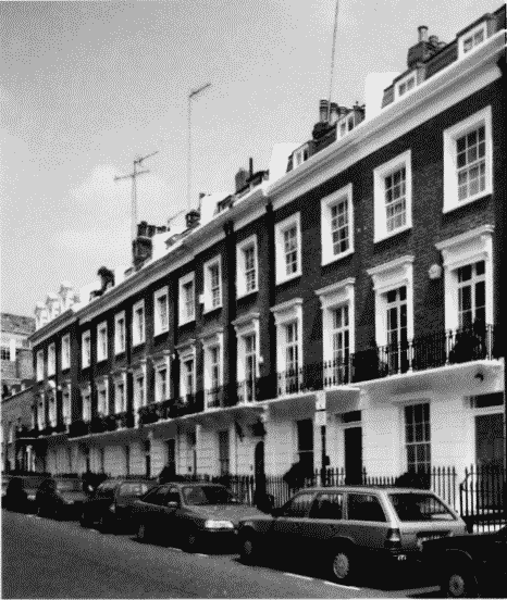
Nos 2–8 Trevor Place in 1993.
Nos 2–8 Trevor Place in 1993.
No.2 (left) built c. 1828, Nos 3–8 built 1844–5 (p.101)
b. Footpath between Raphael Street and Trevor Square in 1939.
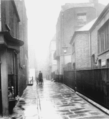
Footpath between Raphael Street and Trevor Square in 1939.
Footpath between Raphael Street and Trevor Square in 1939.
Prince's Club tennis-court building (p. 86) and back of No. 1 Trevor Square on right
c (left). Former Harrods depot from Trevor Place in 1993.
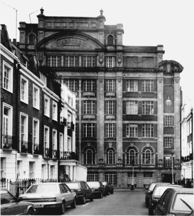
Former Harrods depot, Trevor Square, in 1993.
(left). Former Harrods depot from Trevor Place in 1993.
C. W. Stephens and E. J. Munt, architects, 1913 c. 1920 (P. 103)