Survey of London: Volume 23, Lambeth: South Bank and Vauxhall. Originally published by London County Council, London, 1951.
This free content was digitised by double rekeying. All rights reserved.
'Plate 12: St. John's Church, Waterloo Road, southwest elevation', in Survey of London: Volume 23, Lambeth: South Bank and Vauxhall, (London, 1951) pp. 12. British History Online https://www.british-history.ac.uk/survey-london/vol23/plate-12 [accessed 26 April 2024]
ST. JOHN'S CHURCH WATERLOO ROAD SET
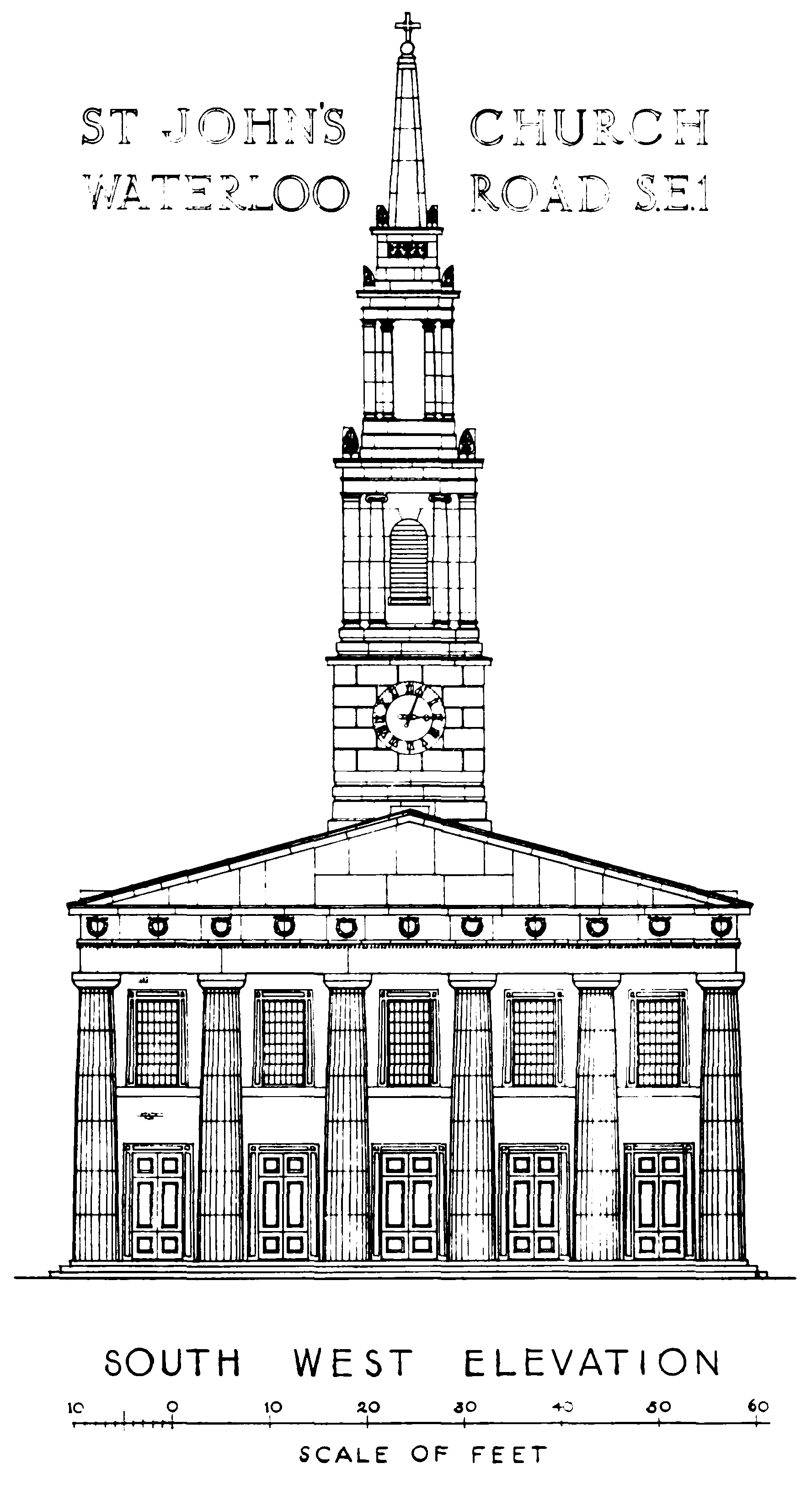
St. John's Church, Waterloo Road, southwest elevation
ST. JOHN'S CHURCH WATERLOO ROAD SET