Survey of London: Volume 4, Chelsea, Pt II. Originally published by London County Council, London, 1913.
This free content was digitised by double rekeying. All rights reserved.
Walter H Godfrey, 'Tablet on Garden Row', in Survey of London: Volume 4, Chelsea, Pt II(London, 1913), British History Online https://www.british-history.ac.uk/survey-london/vol4/pt2/p92 [accessed 1 May 2025].
Walter H Godfrey, 'Tablet on Garden Row', in Survey of London: Volume 4, Chelsea, Pt II(London, 1913), British History Online, accessed May 1, 2025, https://www.british-history.ac.uk/survey-london/vol4/pt2/p92.
Walter H Godfrey. "Tablet on Garden Row". Survey of London: Volume 4, Chelsea, Pt II. (London, 1913), British History Online. Web. 1 May 2025. https://www.british-history.ac.uk/survey-london/vol4/pt2/p92.
In this section
CXXXVII.—GARDEN ROW (Demolished).
The popularity of Paradise Row, which was built after the Royal Hospital was founded, seems to have encouraged the 18th-century builders to speculate still further in the same direction. The great open court before the Hospital, named obscurely Burton's Court, was soon surrounded by these terraces of houses, and Thompson's map shows successively Ormonde Row, Durham Place, Green's Row (now St. Leonard's Terrace), Rayner Place, Garden Row and Franklin's Row. Garden Row occupied the northern part of the eastern side of Burton's Court; the backs of its houses looked on to the Duke of York's School, and it was divided from Franklin's Row by a street called Turk's Row. Faulkner (fn. 1) terms the latter "without exception the most disgraceful part of the parish," and of Garden Row he has no better news than of a murder committed here in 1793! The date stone shown above was to be seen on the southern house.
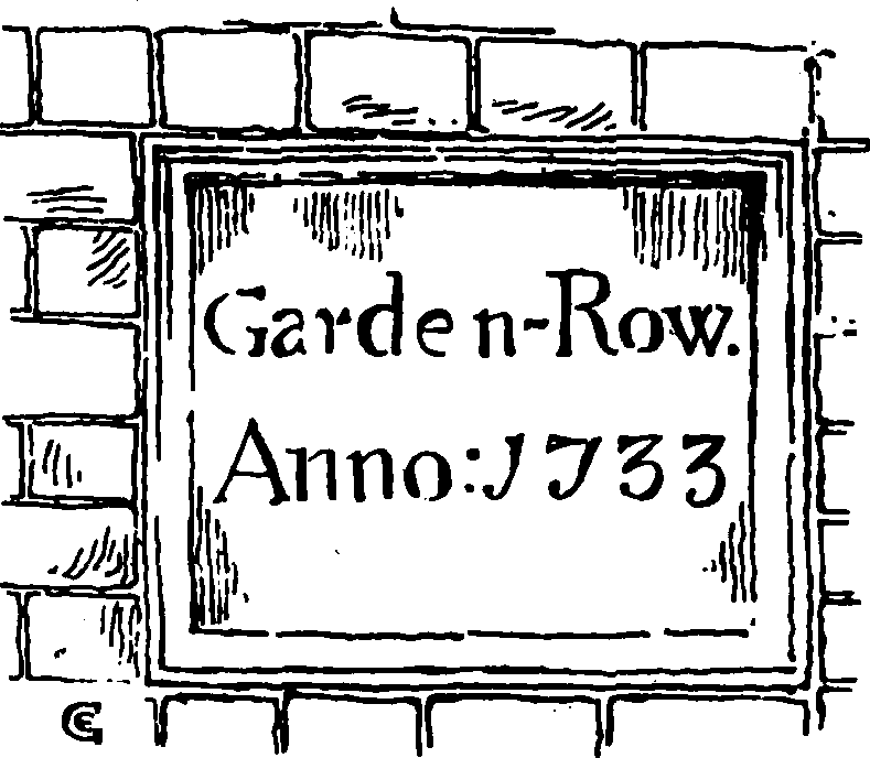
Tablet on Garden Row
The houses were pulled down in 1899.
In the Council's ms. collection is:—
(fn. 2) Drawing of tablet bearing name and date of Row.