Survey of London: Volumes 43 and 44, Poplar, Blackwall and Isle of Dogs. Originally published by London County Council, London, 1994.
This free content was digitised by double rekeying. All rights reserved.
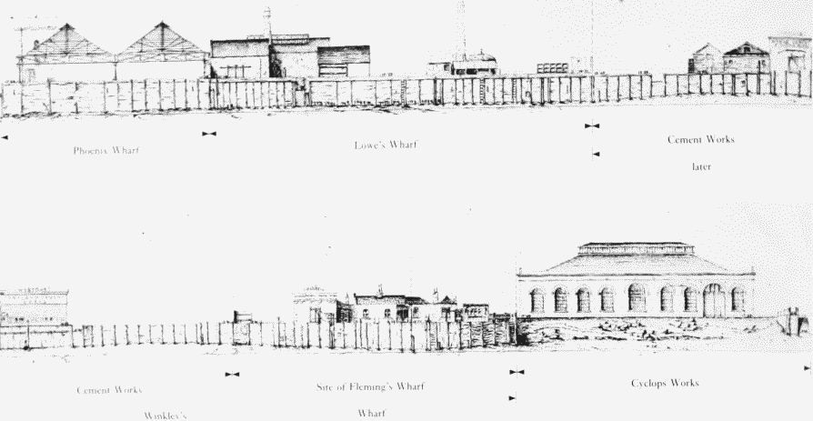
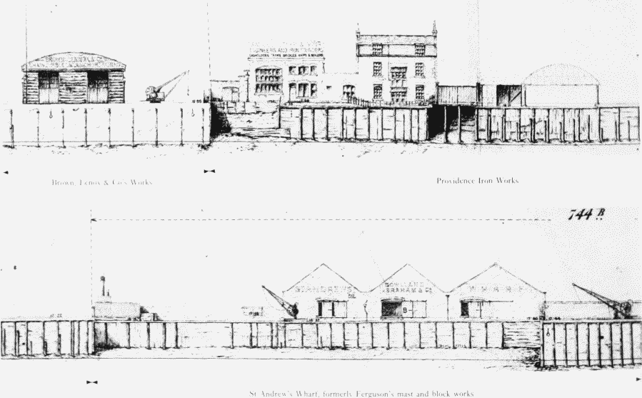
'Plate 74: South Millwall, river frontage in 1883.', in Survey of London: Volumes 43 and 44, Poplar, Blackwall and Isle of Dogs, ed. Hermione Hobhouse (London, 1994), British History Online https://www.british-history.ac.uk/survey-london/vols43-4/plate-74 [accessed 2 May 2025].
'Plate 74: South Millwall, river frontage in 1883.', in Survey of London: Volumes 43 and 44, Poplar, Blackwall and Isle of Dogs. Edited by Hermione Hobhouse (London, 1994), British History Online, accessed May 2, 2025, https://www.british-history.ac.uk/survey-london/vols43-4/plate-74.
"Plate 74: South Millwall, river frontage in 1883.". Survey of London: Volumes 43 and 44, Poplar, Blackwall and Isle of Dogs. Ed. Hermione Hobhouse (London, 1994), British History Online. Web. 2 May 2025. https://www.british-history.ac.uk/survey-london/vols43-4/plate-74.
In this section
Southern Millwall: Riverside In 1883
a. From Millwall Dock Entrance to Millwall Pier

South Millwall, river frontage in 1883.
From Millwall Dock Entrance to Millwall Pier
b. From near the site of Willow Bridge Ferry to the old Mast House at Drunken Dock

South Millwall, river frontage in 1883.
From near the site of Willow Bridge Ferry to the old Mast House at Drunken Dock