A History of the County of Somerset: Volume 6, Andersfield, Cannington, and North Petherton Hundreds (Bridgwater and Neighbouring Parishes). Originally published by Victoria County History, London, 1992.
This free content was digitised by double rekeying. All rights reserved.
A P Baggs, M C Siraut, 'Introduction', in A History of the County of Somerset: Volume 6, Andersfield, Cannington, and North Petherton Hundreds (Bridgwater and Neighbouring Parishes), ed. R W Dunning, C R Elrington (London, 1992), British History Online https://www.british-history.ac.uk/vch/som/vol6/pp1-2 [accessed 30 April 2025].
A P Baggs, M C Siraut, 'Introduction', in A History of the County of Somerset: Volume 6, Andersfield, Cannington, and North Petherton Hundreds (Bridgwater and Neighbouring Parishes). Edited by R W Dunning, C R Elrington (London, 1992), British History Online, accessed April 30, 2025, https://www.british-history.ac.uk/vch/som/vol6/pp1-2.
A P Baggs, M C Siraut. "Introduction". A History of the County of Somerset: Volume 6, Andersfield, Cannington, and North Petherton Hundreds (Bridgwater and Neighbouring Parishes). Ed. R W Dunning, C R Elrington (London, 1992), British History Online. Web. 30 April 2025. https://www.british-history.ac.uk/vch/som/vol6/pp1-2.
INTRODUCTION
Andersfield, Cannington, and North Petherton hundreds together occupy the Lower Parrett valley stretching from the Quantock ridge in the west to King's Sedgemoor in the east, and from the Bristol Channel in the north to the river Tone in the south. Roman river ports at Combwich and Crandon bridge and farming settlements at Bawdrip, Spaxton, and Wembdon indicate early exploitation both of alluvial grasslands and corn-growing uplands. Changes in water levels after the 4th century left the lower ground more liable to flooding, and field boundaries in Bridgwater, Chilton, Pawlett, and Wembdon parishes suggest that the course of the Parrett may have been subject to frequent and significant change over a long period.
By the late 11th century the settlement pattern was dense, especially between the Quantocks and the Parrett, an area crossed by the Saxon 'herpath' in the north and including the 10th-century strongholds of Athelney and Lyng in the south and the Domesday royal manors of Cannington, North Petherton, and Creech St. Michael. The origin of the medieval royal park at North Petherton can be traced to a pre-Conquest royal forest on the Quantocks, and North Petherton was an extensive minister parish which included the later parishes of Chedzoy, Pawlett, Thurloxton, and probably St. Michaelchurch.
Bridgwater, a chartered borough from 1200, is the only significant town, although Stogursey acquired borough status by 1225 and a burgage at North Petherton was mentioned in 1251-2. By the later Middle Ages Bridgwater's port served central, south, and west Somerset, and until the 19th century heavy goods continued to be transported along the Parrett, the Tone, and the Bridgwater and Taunton canal into Dorset and Devon.
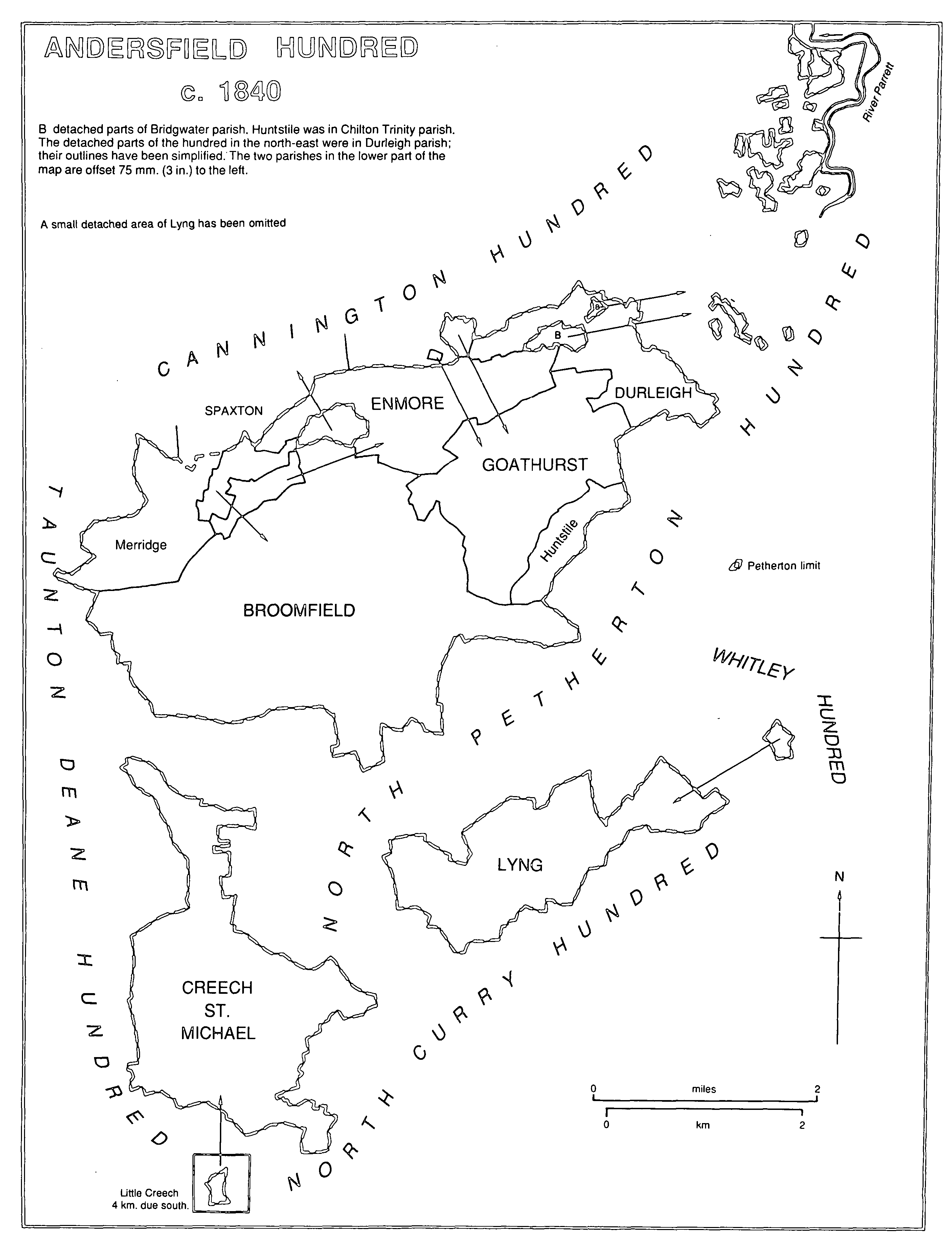
The pattern of settlement is varied: a few nucleated villages like Bawdrip, Cannington, North Petherton, North Newton, and Stogursey; roadside villages like Chedzoy, East Lyng, Durston, and Creech St. Michael; and parishes with dispersed hamlets like Broomfield, Charlinch, and Otterhampton. Interlocking parish boundaries, notably between Bridgwater, Chilton, Durleigh, and Wembdon, and between Cannington, Otterhampton, and Stockland Bristol, indicate complex economic units and late parochial formation.
Agriculture was also varied: arable farming predominated until the 16th century, partly in open arable fields, two of which survive in Chedzoy. In the 17th century there was an emphasis on stock rearing and an increase in dairying and orchards, largely the result of improved drainage. Cheese was an important product of the area in the 18th century, and in the 19th baskets from locally grown willow. Medieval Bridgwater provided an outlet for surplus food products, notably for military operations; in the 19th century it imported fertilizer and animal feeding stuffs for the farming community.
Local woollen cloth was the most significant product of the area in the later Middle Ages and production continued into the 17th century. Attempts at copper mining and silk production in the early 19th century were largely unsuccessful, but from the late 17th century the alluvial clays of the Parrett valley provided material for the bricks and tiles for which Bridgwater became well known in the 19th century.
There was no dominant medieval landowner, but among the substantial estates built up in the later Middle Ages were those whose houses wholly or partially survive, including Fairfield, Gothelney, Gurney Street, West Bower, and Sydenham. Halswell House was from the later 17th century the grandest mansion in the area. Enmore Castle was the creation of the earls of Egmont in the later 18th century and the Quantock Lodge estate of Lord Taunton derived in part from the Egmonts' estate.
Andersfield Hundred c.1840