Survey of London: Volumes 43 and 44, Poplar, Blackwall and Isle of Dogs. Originally published by London County Council, London, 1994.
This free content was digitised by double rekeying. All rights reserved.
'Plate 42: Limehouse Hole', in Survey of London: Volumes 43 and 44, Poplar, Blackwall and Isle of Dogs, (London, 1994) pp. 42. British History Online https://www.british-history.ac.uk/survey-london/vols43-4/plate-42 [accessed 26 April 2024]
In this section
Limehouse Hole
a. Aerial view looking south-east in the 1970s.
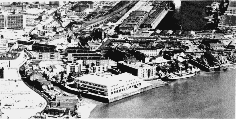
Limehouse Hole, aerial view in the 1970s
Aerial view looking south-east in the 1970s.
Limekiln Dock and Dundee Wharf to the right
b. River frontage in c1882 (pp. 390–2)
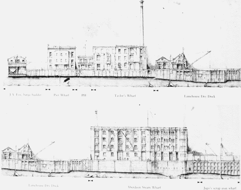
Limehouse Hole, river frontage in c1882.
River frontage in c1882 (pp. 390–2)